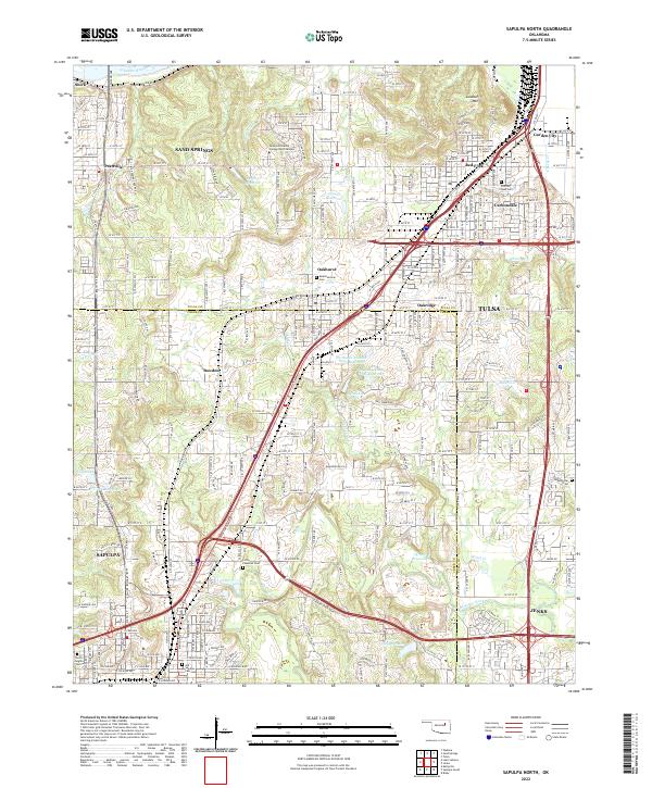
2022 Map of Sapulpa North
USGS Topo · Published 2022About this map
The Arkansas River and Lookout Mtn define the northern landscape of this region, where the dense suburban expansion of Tulsa meets the established communities of Sapulpa and Jenks. This survey documents a critical junction of transport and water, tracing the BNSF Railway as it cuts through neighborhoods like Red Fork and Carbondale. The map is particularly rich for genealogical research, identifying several distinct burial grounds including Little Cussetah Cem, Old Sapulpa Cem, and Meadowbrook Cem.
Find a feature on this map
111 named features on this map. Tap any name to fly to it.
Don’t see what you’re looking for? This feature index may not catch every label — zoom into the map to look around manually.
Map Details
Editions of this 2022 Sapulpa North Map
This is the sole edition of this map. No revisions or reprints were ever made.
Other maps of this area

1896 · Okmulgee
USGS Topo · 1:125,000

1900 · Okmulgee
USGS Topo · 1:125,000

1901 · Claremore
USGS Topo · 1:125,000

1901 · Nuyaka
USGS Topo · 1:125,000

1912 · Hominy
USGS Topo · 1:125,000

1914 · Kiefer
USGS Topo · 1:62,500

1914 · Claremore
USGS Topo · 1:125,000

1915 · Hominy
USGS Topo · 1:125,000

1916 · Kiefer
USGS Topo · 1:62,500

1916 · Claremore
USGS Topo · 1:125,000