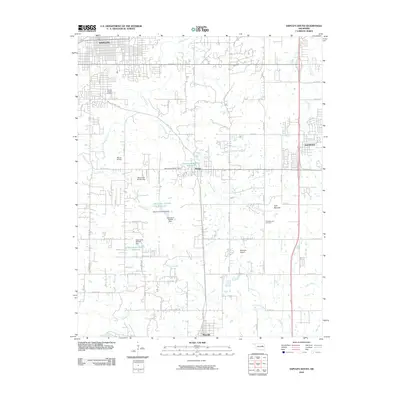
2010 Map of Sapulpa South
USGS Topo · Published 2010About this map
Sapulpa anchors the northern edge of this Creek County landscape, where the street grids of the early 21st century transition into a rural network of section roads and small-scale reservoirs. The area between Kiefer and Glenpool is defined by the winding course of Polecat Creek and Childres Creek, featuring several numbered water management structures such as the Oknoname 037071 Dam and its associated reservoir. Local aviation is represented by Morris Airport and Bethesda Airport, reflecting the region's mid-continent connectivity.
Find a feature on this map
62 named features on this map. Tap any name to fly to it.
Don’t see what you’re looking for? This feature index may not catch every label — zoom into the map to look around manually.
Map Details
Editions of this 2010 Sapulpa South Map
This is the sole edition of this map. No revisions or reprints were ever made.
Other maps of this area

1896 · Okmulgee
USGS Topo · 1:125,000

1900 · Okmulgee
USGS Topo · 1:125,000

1901 · Claremore
USGS Topo · 1:125,000

1901 · Nuyaka
USGS Topo · 1:125,000

1912 · Hominy
USGS Topo · 1:125,000

1914 · Kiefer
USGS Topo · 1:62,500

1914 · Claremore
USGS Topo · 1:125,000

1915 · Hominy
USGS Topo · 1:125,000

1916 · Kiefer
USGS Topo · 1:62,500

1916 · Claremore
USGS Topo · 1:125,000