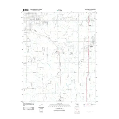
2013 Map of Sapulpa South
USGS Topo · Published 2013About this map
The Chief Sapulpa Burying Ground anchors the northern reaches of this map, representing a significant ancestral site just south of the main township. The landscape transitions from the developed corridors of Glenpool and Watkins in the east toward more rural creek valleys defined by Polecat Cr and Rock Cr. Numerous family and community burial sites, including Saint Johns Cem and Jimmie Long Cem, are interspersed throughout the countryside, reflecting the area's deep genealogical roots and long-standing settlement patterns.
Find a feature on this map
69 named features on this map. Tap any name to fly to it.
Don’t see what you’re looking for? This feature index may not catch every label — zoom into the map to look around manually.
Map Details
Editions of this 2013 Sapulpa South Map
This is the sole edition of this map. No revisions or reprints were ever made.
Other maps of this area

1896 · Okmulgee
USGS Topo · 1:125,000

1900 · Okmulgee
USGS Topo · 1:125,000

1901 · Claremore
USGS Topo · 1:125,000

1901 · Nuyaka
USGS Topo · 1:125,000

1912 · Hominy
USGS Topo · 1:125,000

1914 · Kiefer
USGS Topo · 1:62,500

1914 · Claremore
USGS Topo · 1:125,000

1915 · Hominy
USGS Topo · 1:125,000

1916 · Kiefer
USGS Topo · 1:62,500

1916 · Claremore
USGS Topo · 1:125,000