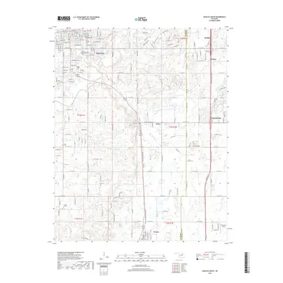
2018 Map of Sapulpa South
USGS Topo · Published 2018About this map
Chief Sapulpa Burying Ground and numerous other resting places anchor this portion of northeastern Oklahoma, reflecting the deep heritage of the Muscogee (Cree) Nation and early settler history. The landscape transitions from the southern edge of Sapulpa down toward Mounds and Kiefer, following the corridor of the Burlington Northern railroad. The terrain is defined by the drainage systems of Polecat Creek and Skull Creek, which feed several numbered reservoirs like 037073 Reservoir. To the east, the boundary between Creek County and Tulsa County cuts through the area near the distinctive topography of Twin Mounds. Significant residential and industrial expansion is evident near Glenpool and Jenks, while the Duckcreek Airport serves as a modern waypoint in the southern rural reaches of the quadrangle.
Find a feature on this map
170 named features on this map. Tap any name to fly to it.
Don’t see what you’re looking for? This feature index may not catch every label — zoom into the map to look around manually.
Map Details
Editions of this 2018 Sapulpa South Map
This is the sole edition of this map. No revisions or reprints were ever made.
Other maps of this area

1896 · Okmulgee
USGS Topo · 1:125,000

1900 · Okmulgee
USGS Topo · 1:125,000

1901 · Claremore
USGS Topo · 1:125,000

1901 · Nuyaka
USGS Topo · 1:125,000

1912 · Hominy
USGS Topo · 1:125,000

1914 · Kiefer
USGS Topo · 1:62,500

1914 · Claremore
USGS Topo · 1:125,000

1915 · Hominy
USGS Topo · 1:125,000

1916 · Kiefer
USGS Topo · 1:62,500

1916 · Claremore
USGS Topo · 1:125,000