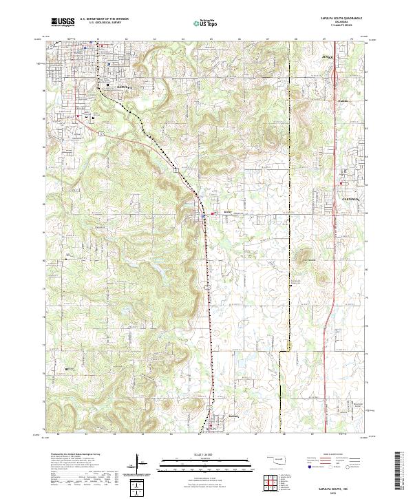
2022 Map of Sapulpa South
USGS Topo · Published 2022About this map
The Creek County Courthouse anchors the northern landscape of Sapulpa, Oklahoma, in an area defined by historical burials and winding creek beds. This region serves as a significant intersection of local heritage, containing the Chief Sapulpa Burying Ground and several large cemeteries like South Heights Cem and Green Hill Cem. The terrain south of the city is shaped by the drainage patterns of Polecat Cr and Childers Cr, which flow through a mix of residential growth and rural spaces.
Find a feature on this map
98 named features on this map. Tap any name to fly to it.
Don’t see what you’re looking for? This feature index may not catch every label — zoom into the map to look around manually.
Map Details
Editions of this 2022 Sapulpa South Map
This is the sole edition of this map. No revisions or reprints were ever made.
Other maps of this area

1896 · Okmulgee
USGS Topo · 1:125,000

1900 · Okmulgee
USGS Topo · 1:125,000

1901 · Claremore
USGS Topo · 1:125,000

1901 · Nuyaka
USGS Topo · 1:125,000

1912 · Hominy
USGS Topo · 1:125,000

1914 · Kiefer
USGS Topo · 1:62,500

1914 · Claremore
USGS Topo · 1:125,000

1915 · Hominy
USGS Topo · 1:125,000

1916 · Kiefer
USGS Topo · 1:62,500

1916 · Claremore
USGS Topo · 1:125,000