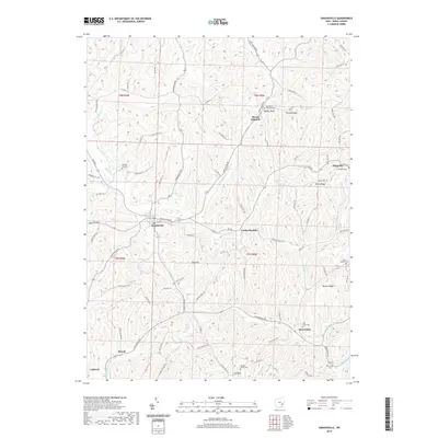
2019 Map of Sarahsville
USGS Topo · Published 2019About this map
Sarahsville serves as a central hub in this Noble County landscape, where the ridges and runs of southeast Ohio dictate the placement of settlements and roads. The map highlights a network of ridge-top communities including Mount Ephraim, Fredericksdale, and East Union, connected by winding routes like Seneca Lake Rd and Wolf Run Rd. The area's cultural history is deeply embedded in its numerous burial grounds, such as the Old Mount Ephraim Cem and Allens Chapel Cem, which often occupy high ground alongside named elevations like Beatty Knob and Groves Ridge.
Find a feature on this map
97 named features on this map. Tap any name to fly to it.
Don’t see what you’re looking for? This feature index may not catch every label — zoom into the map to look around manually.
Map Details
Editions of this 2019 Sarahsville Map
This is the sole edition of this map. No revisions or reprints were ever made.
Other maps of this area

1903 · Macksburg
USGS Topo · 1:62,500

1905 · Macksburg
USGS Topo · 1:62,500

1909 · Caldwell
USGS Topo · 1:62,500

1909 · Summerfield
USGS Topo · 1:62,500

1911 · Cumberland
USGS Topo · 1:62,500

1911 · Summerfield
USGS Topo · 1:62,500

1912 · Caldwell
USGS Topo · 1:62,500

1949 · Clarksburg
USGS Topo · 1:250,000

1956 · Clarksburg
USGS Topo · 1:250,000

1961 · Clarksburg
USGS Topo · 1:250,000