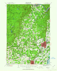
1947 Map of Saratoga
USGS Topo · Published 1963About this map
The City of Saratoga Springs stands as the cultural and social hub of this mid-century landscape, characterized by its famous equestrian traditions at the Saratoga Track and Saratoga Raceway. Beyond the urban core, the map reveals a transition from the developing residential streets near Skidmore College to the rugged foothills of the Kayaderosseras Range. Industrial and local history is anchored by the Delaware and Hudson railroad, which served communities like Corinth and Rock City Falls.
Find a feature on this map
152 named features on this map. Tap any name to fly to it.
Don’t see what you’re looking for? This feature index may not catch every label — zoom into the map to look around manually.
Map Details
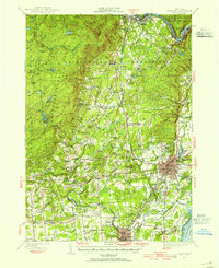
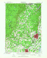
Editions of this 1947 Saratoga Map
3 editions found
Other maps of this area

1893 · Cohoes
USGS Topo · 1:62,500

1893 · Schenectady
USGS Topo · 1:62,500

1895 · Cohoes
USGS Topo · 1:62,500

1895 · Schenectady
USGS Topo · 1:62,500

1895 · Amsterdam
USGS Topo · 1:62,500

1895 · Glens Falls
USGS Topo · 1:62,500

1897 · Glens Falls
USGS Topo · 1:62,500

1898 · Schenectady
USGS Topo · 1:62,500

1898 · Cohoes
USGS Topo · 1:62,500

1899 · Broadalbin
USGS Topo · 1:62,500