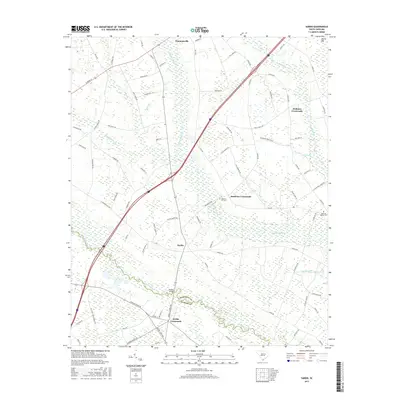
2017 Map of Sardis
USGS Topo · Published 2017About this map
Sardis and Timmonsville anchor this 2017 survey of the South Carolina lowcountry, where the landscape is defined by an intricate network of wetlands and river systems. The Lynches River forms a significant natural boundary, winding through the southern portion of the map and separating portions of Florence and Sumter counties. The terrain is notably saturated, characterized by extensive features like Sparrow Swamp, Deep Hole Swamp, and Lake Swamp, which dictate the placement of roads and small communities.
Find a feature on this map
87 named features on this map. Tap any name to fly to it.
Don’t see what you’re looking for? This feature index may not catch every label — zoom into the map to look around manually.
Map Details
Editions of this 2017 Sardis Map
This is the sole edition of this map. No revisions or reprints were ever made.
Other maps of this area

1920 · Mayesville
USGS Topo · 1:48,000

1921 · Mayesville
USGS Topo · 1:62,500

1940 · Florence West
USGS Topo · 1:62,500

1941 · Spartanburg
USGS Topo · 1:250,000

1943 · Mayesville
USGS Topo · 1:62,500

1945 · Florence West
USGS Topo · 1:62,500

1946 · Lake City
USGS Topo · 1:62,500

1949 · Georgetown
USGS Topo · 1:250,000

1953 · Florence
USGS Topo · 1:250,000

1953 · Spartanburg
USGS Topo · 1:250,000