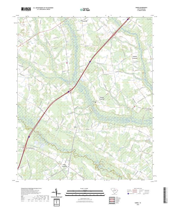
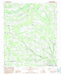
2024 Map of Sardis
USGS Topo · Published 2024This historical map portrays the area of Sardis in 2024, primarily covering Florence County as well as portions of Sumter County. Featuring a scale of 1:24000, this map provides a highly detailed snapshot of the terrain, roads, buildings, counties, and historical landmarks in the Sardis region at the time. Published in 2024, it is the sole known edition of this map.
Map Details
Editions of this 2024 Sardis Map
This is the sole edition of this map. No revisions or reprints were ever made.
Historical Maps of Hollman Crossroads Through Time
25 maps found

1940 Florence East
Florence County, SC
1940 Florence West
Florence County, SC

1945 Florence East
Florence County, SC

1945 Florence West
Florence County, SC

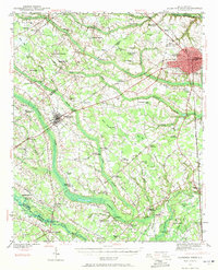
1946 Hyman
Florence County, SC
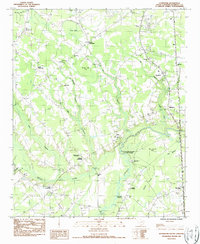
1986 Effingham
Florence County, SC
1986 Evergreen
Florence County, SC
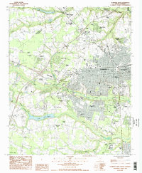
1986 Florence East
Florence County, SC
1986 Florence West
Florence County, SC
1986 Pamplico North
Florence County, SC
1986 Pee Dee
Florence County, SC
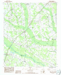
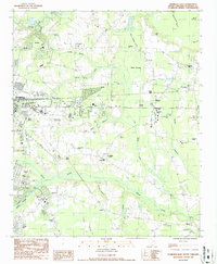
1986 Sardis
Florence County, SC
1990 Mill Bay
Florence County, SC
1990 Pamplico South
Florence County, SC
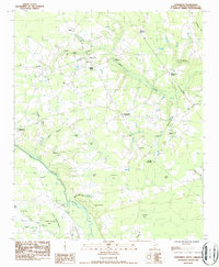
1990 Prospect Crossroads
Florence County, SC
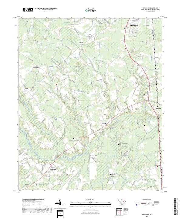
2024 Effingham
Florence County, SC
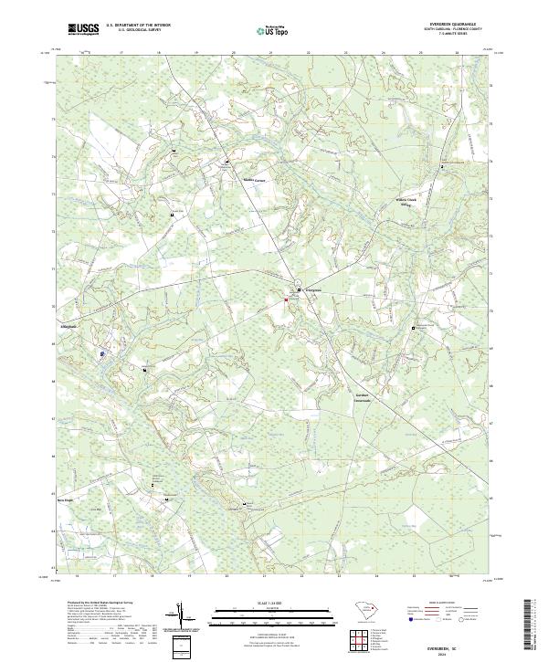
2024 Evergreen
Florence County, SC

2024 Florence East
Florence County, SC
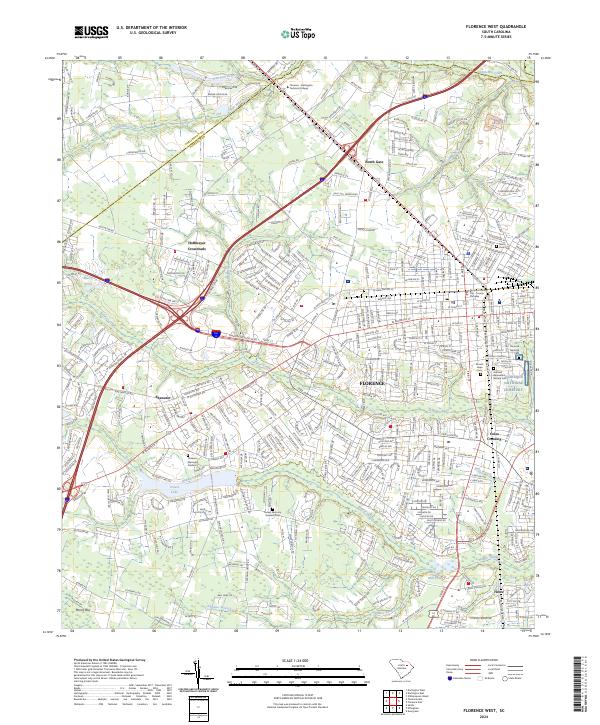
2024 Florence West
Florence County, SC
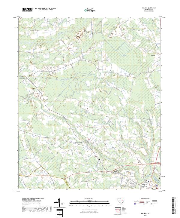
2024 Mill Bay
Florence County, SC
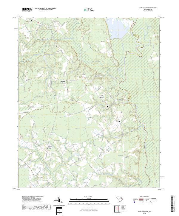
2024 Pamplico North
Florence County, SC
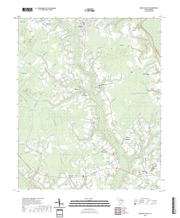
2024 Pamplico South
Florence County, SC
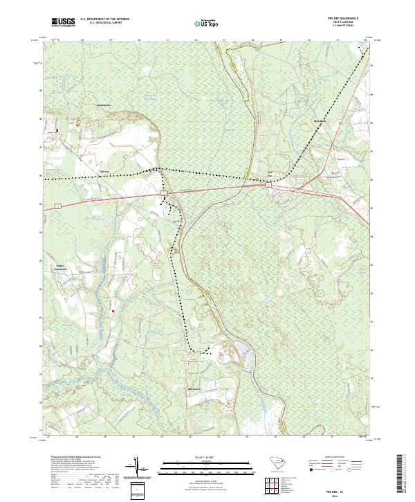
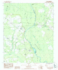
2024 Pee Dee
Florence County, SC
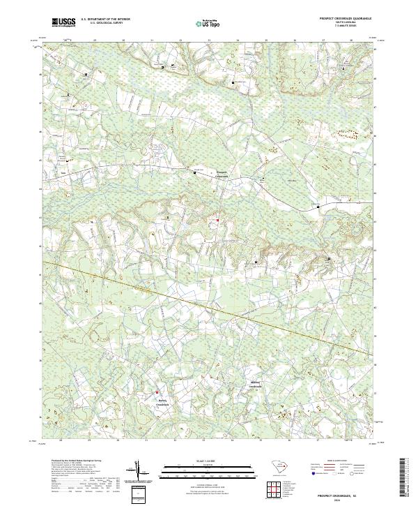
2024 Prospect Crossroads
Florence County, SC
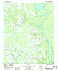
2024 Sardis
Florence County, SC