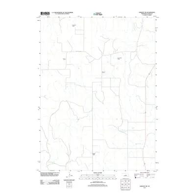
2011 Map of Sargent SW
USGS Topo · Published 2011About this map
Somerford Valley and Antelope Valley anchor this agricultural region of Custer County, where the landscape is defined by the flat plateau of Boggs Table and the drainage of Wagner Creek. The map records a rural community structure established through the presence of the Antelope School and Somerford Cemetery, traditional anchors for the surrounding farmsteads. The road network, including the named Round Valley Rd, follows the section lines typical of the Great Plains, illustrating how the Public Land Survey System dictated settlement patterns well into the modern era. This 2011 survey reflects the persistence of these small community landmarks in a sparsely populated section of central Nebraska.
Find a feature on this map
7 named features on this map. Tap any name to fly to it.
Don’t see what you’re looking for? This feature index may not catch every label — zoom into the map to look around manually.
Map Details
Editions of this 2011 Sargent SW Map
This is the sole edition of this map. No revisions or reprints were ever made.
Other maps of this area

1951 · Broken Bow NE
USGS Topo · 1:24,000

1951 · Westerville
USGS Topo · 1:24,000

1951 · Ansley NE
USGS Topo · 1:24,000

1951 · Walworth
USGS Topo · 1:24,000

1951 · Round Valley
USGS Topo · 1:24,000

1952 · Sargent East
USGS Topo · 1:24,000

1952 · Sargent SE
USGS Topo · 1:24,000

1952 · Sargent West
USGS Topo · 1:24,000

1952 · Sargent SW
USGS Topo · 1:24,000

1955 · Broken Bow
USGS Topo · 1:250,000