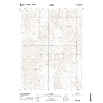
2017 Map of Sargent SW
USGS Topo · Published 2017About this map
Antelope Valley and Round Valley dominate this Custer County landscape, where the Nebraska Sandhills topography meets the agricultural plateaus of the central plains. The area is defined by its series of distinct drainage basins and elevated flats, including the prominent Boggs Table to the south. Human activity is centered around the section-line road network, with routes like Round Valley Rd and RD 810 connecting remote farmsteads and ranches. A primary point of interest for genealogists and local historians is the Somerford Cem, situated near the head of Somerford Valley. This small burial ground remains a quiet landmark in a region characterized by its shifting loess hills and seasonal watercourses like Wagner Cr, which flows through the southeastern portion of the quadrangle.
Find a feature on this map
16 named features on this map. Tap any name to fly to it.
Don’t see what you’re looking for? This feature index may not catch every label — zoom into the map to look around manually.
Map Details
Editions of this 2017 Sargent SW Map
This is the sole edition of this map. No revisions or reprints were ever made.
Other maps of this area

1951 · Broken Bow NE
USGS Topo · 1:24,000

1951 · Westerville
USGS Topo · 1:24,000

1951 · Ansley NE
USGS Topo · 1:24,000

1951 · Walworth
USGS Topo · 1:24,000

1951 · Round Valley
USGS Topo · 1:24,000

1952 · Sargent East
USGS Topo · 1:24,000

1952 · Sargent SE
USGS Topo · 1:24,000

1952 · Sargent West
USGS Topo · 1:24,000

1952 · Sargent SW
USGS Topo · 1:24,000

1955 · Broken Bow
USGS Topo · 1:250,000