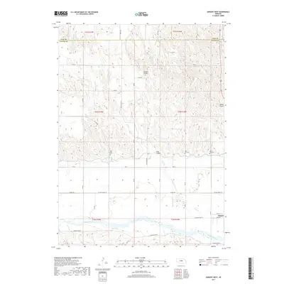
2017 Map of Sargent West
USGS Topo · Published 2017About this map
The Middle Loup River winds through the southern reaches of Custer County, shaping the settlement patterns of Sargent and the surrounding agricultural tablelands. This topographical study highlights a landscape defined by deep erosion, where Chesbra Canyon, Sand Canyon, and Leydell Canyon cut into the northern uplands. For those tracing family history in the Sandhills region, the map identifies three distinct burial grounds: West Union Cem, Saint Marys Cem, and Mount Hope Cem. The transition from the river valley to the rugged canyon country is marked by a network of rural routes such as Sargent River Rd and Blue Mound Rd, which follow the natural contours of the drainage systems fed by Spring Cr and Sand Cr.
Find a feature on this map
44 named features on this map. Tap any name to fly to it.
Don’t see what you’re looking for? This feature index may not catch every label — zoom into the map to look around manually.
Map Details
Editions of this 2017 Sargent West Map
This is the sole edition of this map. No revisions or reprints were ever made.
Other maps of this area

1951 · Walworth
USGS Topo · 1:24,000

1951 · Round Valley
USGS Topo · 1:24,000

1952 · Sargent East
USGS Topo · 1:24,000

1952 · Sargent SE
USGS Topo · 1:24,000

1952 · Sargent West
USGS Topo · 1:24,000

1952 · Taylor SE
USGS Topo · 1:24,000

1952 · Sargent SW
USGS Topo · 1:24,000

1952 · Almeria
USGS Topo · 1:24,000

1952 · Taylor
USGS Topo · 1:24,000

1955 · Broken Bow
USGS Topo · 1:250,000