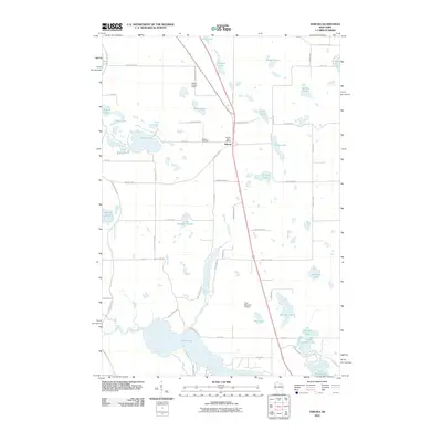
2010 Map of Sarona
USGS Topo · Published 2010About this map
Sarona serves as the central hub of this northern Wisconsin landscape, situated along the corridor between Bear Lake and Shell Lake. The settlement is defined by local civic landmarks including the Sarona Post Office and the Sarona Cemetery, while the surrounding terrain is dominated by a dense network of glacial lakes and kettle ponds. To the south, the expansive waters of Bear Lake and the connected Upper Devils Lake and Lower Devils Lake illustrate the area's complex hydrology, further fed by Bear Creek and Beaver Brook.
Find a feature on this map
66 named features on this map. Tap any name to fly to it.
Don’t see what you’re looking for? This feature index may not catch every label — zoom into the map to look around manually.
Map Details
Editions of this 2010 Sarona Map
This is the sole edition of this map. No revisions or reprints were ever made.
Other maps of this area

1948 · Spooner
USGS Topo · 1:48,000

1948 · Stone Lake
USGS Topo · 1:48,000

1949 · Spooner
USGS Topo · 1:48,000

1949 · Rice Lake
USGS Topo · 1:48,000

1950 · Stone Lake
USGS Topo · 1:48,000

1951 · Shell Lake
USGS Topo · 1:48,000

1951 · Rice Lake
USGS Topo · 1:48,000

1953 · Rice Lake
USGS Topo · 1:250,000

1959 · Rice Lake
USGS Topo · 1:250,000

1965 · Rice Lake
USGS Topo · 1:62,500