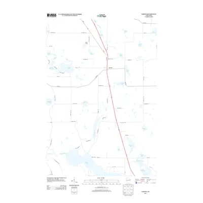
2013 Map of Sarona
USGS Topo · Published 2013About this map
The settlement of Sarona serves as the central hub of this Washburn County landscape, situated along the corridor of US-53. This 2013 survey illustrates a region defined by its dense glacial hydrology, with significant water bodies like Bear Lake and the connected basins of Upper Devils Lake and Lower Devils Lake anchoring the southern half of the quadrangle. The land use patterns reflect a mix of lakeside residential development and rural road networks, including local identifiers like School House Rd and Shelton Tower Dr, which leads toward the Shelton Lookout Tower in the north.
Find a feature on this map
72 named features on this map. Tap any name to fly to it.
Don’t see what you’re looking for? This feature index may not catch every label — zoom into the map to look around manually.
Map Details
Editions of this 2013 Sarona Map
This is the sole edition of this map. No revisions or reprints were ever made.
Other maps of this area

1948 · Spooner
USGS Topo · 1:48,000

1948 · Stone Lake
USGS Topo · 1:48,000

1949 · Spooner
USGS Topo · 1:48,000

1949 · Rice Lake
USGS Topo · 1:48,000

1950 · Stone Lake
USGS Topo · 1:48,000

1951 · Shell Lake
USGS Topo · 1:48,000

1951 · Rice Lake
USGS Topo · 1:48,000

1953 · Rice Lake
USGS Topo · 1:250,000

1959 · Rice Lake
USGS Topo · 1:250,000

1965 · Rice Lake
USGS Topo · 1:62,500