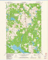
1981 Map of Sarona
USGS Topo · Published 1982About this map
The Chicago and North Western railroad corridor dictates the settlement pattern of this northern Wisconsin landscape, anchoring the small village of Sarona. Near the town center, the Sarona Cem and various local landmarks like the Shelton Lookout Tower provide specific points of interest for genealogists and local historians. The geography is defined by a dense concentration of glacial water bodies, from the large Bear Lake in the south to smaller basins such as Kekegama Lake and Ripley Lake.
Find a feature on this map
46 named features on this map. Tap any name to fly to it.
Don’t see what you’re looking for? This feature index may not catch every label — zoom into the map to look around manually.
Map Details
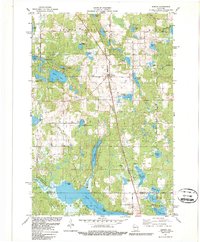
Editions of this 1981 Sarona Map
2 editions found
Other maps of this area

1948 · Spooner
USGS Topo · 1:48,000

1948 · Stone Lake
USGS Topo · 1:48,000

1949 · Spooner
USGS Topo · 1:48,000

1949 · Rice Lake
USGS Topo · 1:48,000

1950 · Stone Lake
USGS Topo · 1:48,000

1951 · Shell Lake
USGS Topo · 1:48,000

1951 · Rice Lake
USGS Topo · 1:48,000

1953 · Rice Lake
USGS Topo · 1:250,000

1959 · Rice Lake
USGS Topo · 1:250,000

1965 · Rice Lake
USGS Topo · 1:62,500