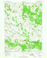
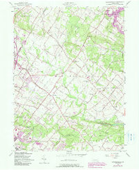
1957 Map of Sassamansville
USGS Topo · Published 1968About this map
Sassamansville and the surrounding townships of Douglass and New Hanover define this Montgomery County landscape as it appeared in the mid-20th century. The area is characterized by a dense network of small rural communities and local landmarks, including the notable Ringing Rock Park and the specialized infrastructure of the Boyertown Airport. Local history is deeply embedded in the map's religious and communal sites, from Bertolets Ch and Keelors Union Ch to the Haffner Swamp Cem.
Find a feature on this map
59 named features on this map. Tap any name to fly to it.
Don’t see what you’re looking for? This feature index may not catch every label — zoom into the map to look around manually.
Map Details
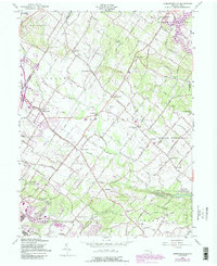
Editions of this 1957 Sassamansville Map
6 editions found
Other maps of this area

1888 · Quakertown
USGS Topo · 1:62,500

1890 · Quakertown
USGS Topo · 1:62,500

1894 · Quakertown
USGS Topo · 1:62,500

1894 · Norristown
USGS Topo · 1:62,500

1895 · Norristown
USGS Topo · 1:62,500

1896 · Norristown
USGS Topo · 1:62,500

1902 · Boyertown
USGS Topo · 1:62,500

1906 · Phoenixville
USGS Topo · 1:62,500

1942 · Norristown
USGS Topo · 1:125,000

1943 · Manatawny
USGS Topo · 1:31,680
Featured Places
- Pottstown, PA
- Limerick Township, PA
- New Hanover Township, PA
- Gilbertsville, Douglass Township
- Bechtelsville, PA