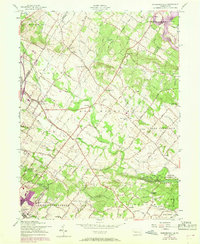
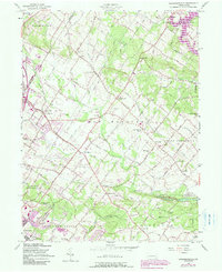
1957 Map of Sassamansville
USGS Topo · Published 1969About this map
Sassamansville and the surrounding townships of Montgomery and Berks counties are defined by a network of small crossroad settlements and meandering waterways. The drainage of Swamp Creek and Perkiomen Creek anchors a landscape dotted with rural landmarks, including the Falkner Swamp Cem and several historic houses of worship like Keelors Union Ch and Bertolets Ch. These clusters, such as New Hanover Square and Fagleysville, reflect an established agrarian community that was beginning to see the arrival of regional aviation facilities at Boyerstown Airport and New Hanover Airport.
Find a feature on this map
66 named features on this map. Tap any name to fly to it.
Don’t see what you’re looking for? This feature index may not catch every label — zoom into the map to look around manually.
Map Details
Editions of this 1957 Sassamansville Map
6 editions found
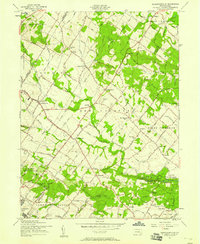
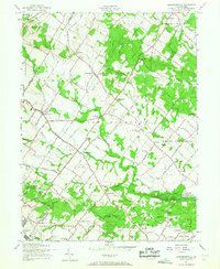
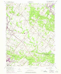
Other maps of this area

1888 · Quakertown
USGS Topo · 1:62,500

1890 · Quakertown
USGS Topo · 1:62,500

1894 · Quakertown
USGS Topo · 1:62,500

1894 · Norristown
USGS Topo · 1:62,500

1895 · Norristown
USGS Topo · 1:62,500

1896 · Norristown
USGS Topo · 1:62,500

1902 · Boyertown
USGS Topo · 1:62,500

1906 · Phoenixville
USGS Topo · 1:62,500

1942 · Norristown
USGS Topo · 1:125,000

1943 · Manatawny
USGS Topo · 1:31,680
Featured Places
- Pottstown, PA
- Limerick Township, PA
- New Hanover Township, PA
- Gilbertsville, Douglass Township
- Bechtelsville, PA