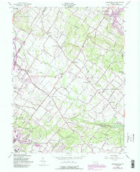
1957 Map of Sassamansville
USGS Topo · Published 1990About this map
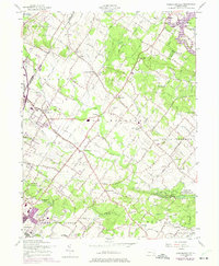
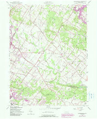
Swamp Creek and its many tributaries, including Middle Creek and Congo Creek, carve through this section of Montgomery County, defining the early settlement patterns of townships like New Hanover and Upper Frederick. The map reveals a landscape of dispersed rural villages and family-named landmarks, where 18th-century roots are evident at sites like the Sunrise Mill Historic Site and the venerable Farkner Swamp Cem. Significant local infrastructure, including the Boyertown Airport and New Hanover Airport, appears alongside traditional community centers like Sassamansville, Gilbertsville, and Frederick. The presence of Keelors Union Ch and Herstien Chapel underscores the area's religious heritage, while the development of Green Lane County Park and Ringing Rock Park indicates the mid-century shift toward regional conservation and recreation. This 1957 revision captures the transition from an agrarian powerhouse into a more connected suburban-rural corridor.
Find a feature on this map
68 named features on this map. Tap any name to fly to it.
Don’t see what you’re looking for? This feature index may not catch every label — zoom into the map to look around manually.
Map Details
Editions of this 1957 Sassamansville Map
6 editions found
Other maps of this area

1888 · Quakertown
USGS Topo · 1:62,500

1890 · Quakertown
USGS Topo · 1:62,500

1894 · Quakertown
USGS Topo · 1:62,500

1894 · Norristown
USGS Topo · 1:62,500

1895 · Norristown
USGS Topo · 1:62,500

1896 · Norristown
USGS Topo · 1:62,500

1902 · Boyertown
USGS Topo · 1:62,500

1906 · Phoenixville
USGS Topo · 1:62,500

1942 · Norristown
USGS Topo · 1:125,000

1943 · Manatawny
USGS Topo · 1:31,680
Featured Places
- Pottstown, PA
- Limerick Township, PA
- New Hanover Township, PA
- Gilbertsville, Douglass Township
- Bechtelsville, PA