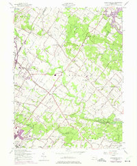
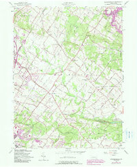
1957 Map of Sassamansville
USGS Topo · Published 1975About this map
Swamp Creek and its many tributaries, including Minister Creek and Congo Creek, drain this corner of Montgomery County, creating a landscape defined by small-scale agriculture and scattered crossroads villages. The area around Sassamansville and Layfield shows the traditional Pennsylvania pattern of township schools and local churches, such as Bertolets Ch and Keelors Union Ch, serving a distributed rural population.
Find a feature on this map
142 named features on this map. Tap any name to fly to it.
Don’t see what you’re looking for? This feature index may not catch every label — zoom into the map to look around manually.
Map Details
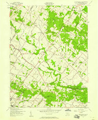
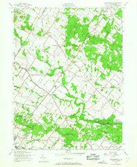
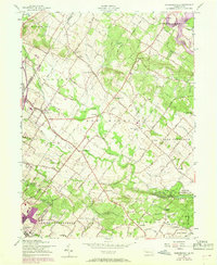
Editions of this 1957 Sassamansville Map
6 editions found
Other maps of this area

1888 · Quakertown
USGS Topo · 1:62,500

1890 · Quakertown
USGS Topo · 1:62,500

1894 · Quakertown
USGS Topo · 1:62,500

1894 · Norristown
USGS Topo · 1:62,500

1895 · Norristown
USGS Topo · 1:62,500

1896 · Norristown
USGS Topo · 1:62,500

1902 · Boyertown
USGS Topo · 1:62,500

1906 · Phoenixville
USGS Topo · 1:62,500

1942 · Norristown
USGS Topo · 1:125,000

1943 · Manatawny
USGS Topo · 1:31,680
Featured Places
- Pottstown, PA
- Limerick Township, PA
- New Hanover Township, PA
- Gilbertsville, Douglass Township
- Bechtelsville, PA