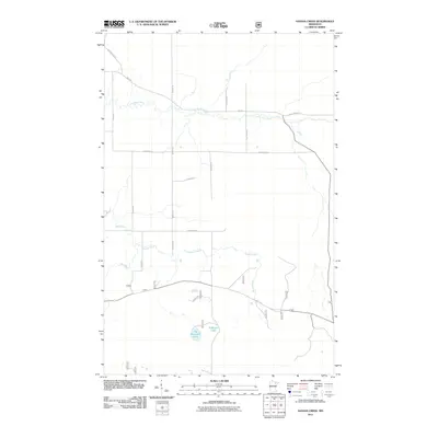
2011 Map of Sassas Creek
USGS Topo · Published 2011About this map
The Little Fork River meanders across the northern portion of this landscape in St. Louis County, marking a terrain defined by significant drainage networks and isolated water bodies. Just after the turn of the millennium, this area remains characterized by its rural infrastructure, where routes like Hwy 115 and Wakely Rd provide the primary connections through the northern woods. To the south, the Rice River and Sassas Creek converge toward the center of the sheet, illustrating the complex hydrology that feeds into the larger regional basins. Local landmarks such as Big Rosendal Lake and numerous forest service roads like Johnson Rd and Sassas Rd reveal a pattern of land use centered on forestry and natural resource management. The grid of local thoroughfares, including Bystrom Rd and Nylund Rd, provides a clear view of the sparse settlement patterns in this part of northeast Minnesota.
Find a feature on this map
28 named features on this map. Tap any name to fly to it.
Don’t see what you’re looking for? This feature index may not catch every label — zoom into the map to look around manually.
Map Details
Editions of this 2011 Sassas Creek Map
This is the sole edition of this map. No revisions or reprints were ever made.
Other maps of this area

1950 · Biwabik NW
USGS Topo · 1:24,000

1951 · Biwabik NW
USGS Topo · 1:24,000

1951 · Britt
USGS Topo · 1:24,000

1952 · Idington
USGS Topo · 1:24,000

1954 · Hibbing
USGS Topo · 1:250,000

1956 · Vermilion Dam
USGS Topo · 1:24,000

1956 · Lost Lake
USGS Topo · 1:24,000

1957 · Hibbing
USGS Topo · 1:250,000

1958 · Hibbing
USGS Topo · 1:250,000

1964 · Hibbing
USGS Topo · 1:250,000