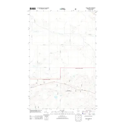
2013 Map of Sassas Creek
USGS Topo · Published 2013About this map
Superior National Forest dominates the southern landscape of this northern Minnesota region, where the terrain is defined by a complex network of waterways and timber roads. The winding Little Fork River cuts through the northern section, while the southern boundary includes Big Rosendal Lake and its smaller neighbor, Rosendal Lake. This 2013 survey illustrates how transportation follows the natural topography, with State Hwy 1 serving as the primary east-west artery through the forest lands.
Find a feature on this map
19 named features on this map. Tap any name to fly to it.
Don’t see what you’re looking for? This feature index may not catch every label — zoom into the map to look around manually.
Map Details
Editions of this 2013 Sassas Creek Map
This is the sole edition of this map. No revisions or reprints were ever made.
Other maps of this area

1950 · Biwabik NW
USGS Topo · 1:24,000

1951 · Biwabik NW
USGS Topo · 1:24,000

1951 · Britt
USGS Topo · 1:24,000

1952 · Idington
USGS Topo · 1:24,000

1954 · Hibbing
USGS Topo · 1:250,000

1956 · Vermilion Dam
USGS Topo · 1:24,000

1956 · Lost Lake
USGS Topo · 1:24,000

1957 · Hibbing
USGS Topo · 1:250,000

1958 · Hibbing
USGS Topo · 1:250,000

1964 · Hibbing
USGS Topo · 1:250,000