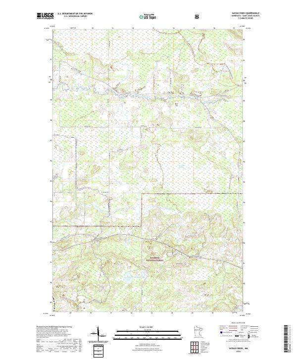
2022 Map of Sassas Creek
USGS Topo · Published 2022About this map
The northern edge of the Superior National Forest dominates this section of St. Louis County, where a complex network of waterways and timber-access trails defines the landscape. The Little Fork River meanders through the northern townships, joined by the Little Fork River Trl and various county routes like Co Rd 115. Further south, the terrain transitions into significant wetland areas, most notably the Lost Lake Swamp and the drainage basins for Sassas Creek and the Rice River.
Find a feature on this map
42 named features on this map. Tap any name to fly to it.
Don’t see what you’re looking for? This feature index may not catch every label — zoom into the map to look around manually.
Map Details
Editions of this 2022 Sassas Creek Map
This is the sole edition of this map. No revisions or reprints were ever made.
Other maps of this area

1950 · Biwabik NW
USGS Topo · 1:24,000

1951 · Biwabik NW
USGS Topo · 1:24,000

1951 · Britt
USGS Topo · 1:24,000

1952 · Idington
USGS Topo · 1:24,000

1954 · Hibbing
USGS Topo · 1:250,000

1956 · Vermilion Dam
USGS Topo · 1:24,000

1956 · Lost Lake
USGS Topo · 1:24,000

1957 · Hibbing
USGS Topo · 1:250,000

1958 · Hibbing
USGS Topo · 1:250,000

1964 · Hibbing
USGS Topo · 1:250,000