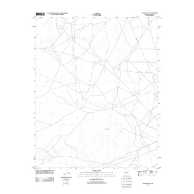
2011 Map of Satan Butte
USGS Topo · Published 2011About this map
Satan Butte serves as the central landmark in this high-desert landscape within the Fort Defiance Agency territory. Mapping from 2011 shows a network of tribal roads and infrastructure essential to the region's connectivity, including Indian Rte-15 and Indian Rte-153. The terrain is marked by numerous ephemeral drainages that create a complex physical geography around the butte. Notable industrial corridors are also present, specifically Gas Line Rd, which cuts across the southern portion of the quadrangle. This survey illustrates the modern transportation patterns and utility routes that define the area, showing how secondary routes like Indian Rte-9002 and Indian Rte-9005 link distant points across the arid expanse.
Find a feature on this map
6 named features on this map. Tap any name to fly to it.
Don’t see what you’re looking for? This feature index may not catch every label — zoom into the map to look around manually.
Map Details
Editions of this 2011 Satan Butte Map
This is the sole edition of this map. No revisions or reprints were ever made.
Other maps of this area

1883 · Tusayan
USGS Topo · 1:250,000

1886 · Tusayan
USGS Topo · 1:250,000

1886 · Fort Defiance
USGS Topo · 1:250,000

1892 · Fort Defiance
USGS Topo · 1:250,000

1947 · Flagstaff
USGS Topo · 1:250,000

1954 · Flagstaff
USGS Topo · 1:250,000

1954 · Gallup
USGS Topo · 1:250,000

1958 · Gallup
USGS Topo · 1:250,000

1958 · Flagstaff
USGS Topo · 1:250,000

1959 · Gallup
USGS Topo · 1:250,000