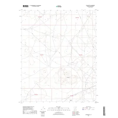
2018 Map of Satan Butte
USGS Topo · Published 2018About this map
Satan Butte rises as the central topographic landmark of this landscape within the Fort Defiance Agency territory. This 2018 survey by the U.S. Geological Survey illustrates a sparsely populated region defined by its drainage systems and utility corridors. Steamboat Wash cuts through the southern reaches of the quadrangle, serving as the primary hydrographic feature in an otherwise arid environment. The transportation network is dominated by tribal and service routes, including Indian Rte 9001 and the diagonal track of Old Toyei Rd. The inclusion of Gas Line Rd suggests the importance of resource infrastructure in this part of Navajo County, while a series of numbered roads like N-9001 and N-9002 provide access to the high desert terrain.
Find a feature on this map
15 named features on this map. Tap any name to fly to it.
Don’t see what you’re looking for? This feature index may not catch every label — zoom into the map to look around manually.
Map Details
Editions of this 2018 Satan Butte Map
This is the sole edition of this map. No revisions or reprints were ever made.
Other maps of this area

1883 · Tusayan
USGS Topo · 1:250,000

1886 · Tusayan
USGS Topo · 1:250,000

1886 · Fort Defiance
USGS Topo · 1:250,000

1892 · Fort Defiance
USGS Topo · 1:250,000

1947 · Flagstaff
USGS Topo · 1:250,000

1954 · Flagstaff
USGS Topo · 1:250,000

1954 · Gallup
USGS Topo · 1:250,000

1958 · Gallup
USGS Topo · 1:250,000

1958 · Flagstaff
USGS Topo · 1:250,000

1959 · Gallup
USGS Topo · 1:250,000