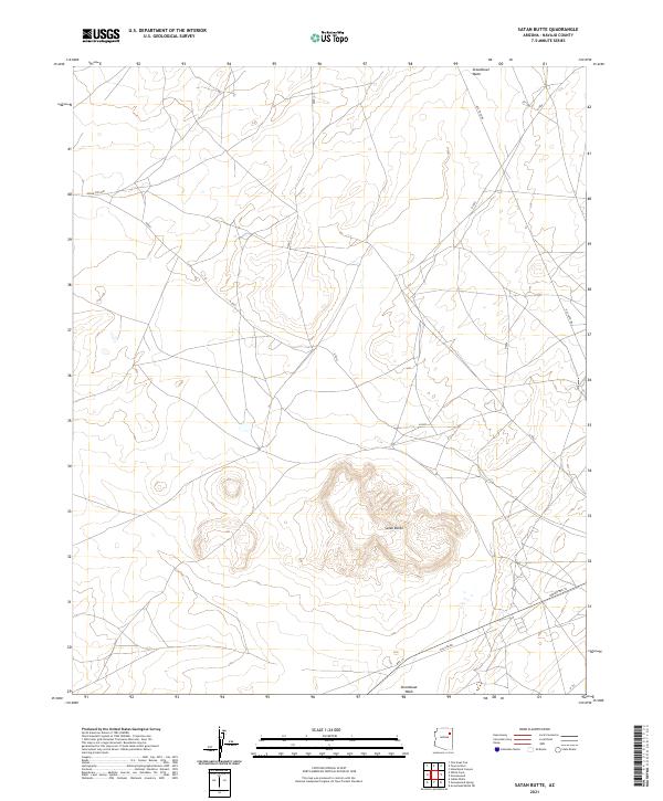
2021 Map of Satan Butte
USGS Topo · Published 2021About this map
Satan Butte rises as the central topographical landmark in this high-desert portion of the Navajo Nation. The landscape is defined by the drainage patterns of Steamboat Wash, which winds across the northern and southern sectors of the quadrangle. Human movement through this arid terrain is traced by a network of contemporary and older routes, including the prominent Indian Rte 9001 and Old Toyei Rd. The presence of Gas Line Rd near the southern border indicates the intersection of traditional land use with modern utility infrastructure. These various transportation corridors, from Indian Rte 15 to local desert tracks, highlight the persistent importance of connectivity across the expansive plateau country of eastern Arizona.
Find a feature on this map
17 named features on this map. Tap any name to fly to it.
Don’t see what you’re looking for? This feature index may not catch every label — zoom into the map to look around manually.
Map Details
Editions of this 2021 Satan Butte Map
This is the sole edition of this map. No revisions or reprints were ever made.
Other maps of this area

1883 · Tusayan
USGS Topo · 1:250,000

1886 · Tusayan
USGS Topo · 1:250,000

1886 · Fort Defiance
USGS Topo · 1:250,000

1892 · Fort Defiance
USGS Topo · 1:250,000

1947 · Flagstaff
USGS Topo · 1:250,000

1954 · Flagstaff
USGS Topo · 1:250,000

1954 · Gallup
USGS Topo · 1:250,000

1958 · Gallup
USGS Topo · 1:250,000

1958 · Flagstaff
USGS Topo · 1:250,000

1959 · Gallup
USGS Topo · 1:250,000