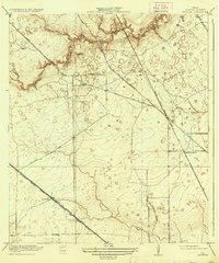
1920 Map of Satsuma
USGS Topo · Published 1937About this map
Timber harvesting and the railroad economy define this corner of Harris County during the early 20th century. Local industry is anchored by a cluster of lumber operations including the Christy Sawmill, Anderson Sawmill, and Wrothe Sawmill, which supported the early growth of rural communities. The settlement of Satsuma sits at the junction of the Southern Pacific System and the Houston and Texas Central, marking it as a vital transit point for regional goods. The landscape is deeply etched by a network of waterways including Little Cypress Creek, Faulkey Gully, and Whitesoak Bayou, which dictated the early road patterns such as Rose Hill Road. For those tracing local families or early educational sites, the Fuchs School stands as a notable landmark in a region that was transitioning from a timber-heavy frontier into an established agricultural and transit corridor north of the growing Houston metropolis.
Find a feature on this map
21 named features on this map. Tap any name to fly to it.
Don’t see what you’re looking for? This feature index may not catch every label — zoom into the map to look around manually.
Map Details
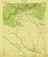
Editions of this 1920 Satsuma Map
2 editions found
Other maps of this area

1915 · Houston Heights
USGS Topo · 1:24,000

1915 · Cypress
USGS Topo · 1:24,000

1915 · Addicks
USGS Topo · 1:24,000

1915 · Hillendahl
USGS Topo · 1:24,000

1916 · Rose Hill
USGS Topo · 1:24,000

1916 · Aldine
USGS Topo · 1:24,000

1916 · Louetta
USGS Topo · 1:24,000

1916 · Satsuma
USGS Topo · 1:24,000

1916 · Spring
USGS Topo · 1:24,000

1918 · Cypress
USGS Topo · 1:31,680