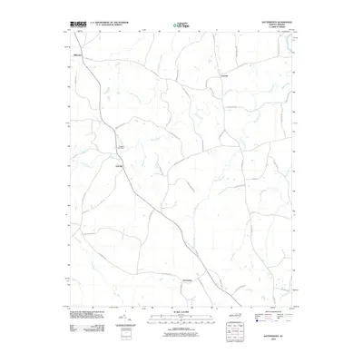
2010 Map of Satterwhite
USGS Topo · Published 2010About this map
Satterwhite and Cornwall anchor this Granville County landscape, which remains defined by a network of rural roads and family-named routes. The terrain is characterized by numerous watercourses, with Grassy Creek winding through the center and Mountain Creek cutting across the eastern side. The settlement at Oak Hill sits near the western edge, while the northwest corner is marked by Wilbourns.
Find a feature on this map
44 named features on this map. Tap any name to fly to it.
Don’t see what you’re looking for? This feature index may not catch every label — zoom into the map to look around manually.
Map Details
Editions of this 2010 Satterwhite Map
This is the sole edition of this map. No revisions or reprints were ever made.
Other maps of this area

1941 · Clarksville
USGS Topo · 1:48,000

1943 · Clarksville
USGS Topo · 1:62,500

1943 · Roxboro
USGS Topo · 1:62,500

1953 · Oxford
USGS Topo · 1:62,500

1953 · South Boston
USGS Topo · 1:62,500

1953 · Greensboro
USGS Topo · 1:250,000

1954 · Greensboro
USGS Topo · 1:250,000

1957 · South Boston
USGS Topo · 1:62,500

1957 · Clarksville
USGS Topo · 1:62,500

1962 · Greensboro
USGS Topo · 1:250,000