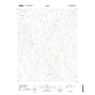
2019 Map of Satterwhite
USGS Topo · Published 2019About this map
Satterwhite and the surrounding rural landscapes of Granville County are defined by a dense network of tributaries flowing toward the regional basins. Small settlements like Oak Hill and Cornwall serve as geographic anchors for a terrain characterized by numerous family-named roads, including Joe Currin Rd and Reuben Hart Rd. These names reflect a deep-rooted history of local land ownership and ancestral family sites. The drainage pattern is intricate, with Grassy Cr, Little Johnson Cr, and Bearskin Cr carving out the topography between the rolling hills. This area preserves a traditional North Carolina Piedmont settlement pattern where community life follows the ridge lines and creek valleys, far from the denser development seen in neighboring regions.
Find a feature on this map
58 named features on this map. Tap any name to fly to it.
Don’t see what you’re looking for? This feature index may not catch every label — zoom into the map to look around manually.
Map Details
Editions of this 2019 Satterwhite Map
This is the sole edition of this map. No revisions or reprints were ever made.
Other maps of this area

1941 · Clarksville
USGS Topo · 1:48,000

1943 · Clarksville
USGS Topo · 1:62,500

1943 · Roxboro
USGS Topo · 1:62,500

1953 · Oxford
USGS Topo · 1:62,500

1953 · South Boston
USGS Topo · 1:62,500

1953 · Greensboro
USGS Topo · 1:250,000

1954 · Greensboro
USGS Topo · 1:250,000

1957 · South Boston
USGS Topo · 1:62,500

1957 · Clarksville
USGS Topo · 1:62,500

1962 · Greensboro
USGS Topo · 1:250,000