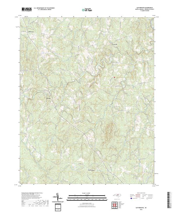
2022 Map of Satterwhite
USGS Topo · Published 2022About this map
Satterwhite and Oak Hill anchor this rural landscape in Granville County, where a complex network of family-named roads reveals generations of local land use. This modern topographic survey by the U.S. Geological Survey details the drainage patterns of several critical tributaries, including the winding course of Mountain Cr and the northern reaches of Bearskin Cr. These waterways historically influenced the placement of early settlements like Cornwall and Wilbourns, which remain connected by a web of local routes such as Oak Hill Rd and Cornwall Rd. The map provides an exceptionally clear view of the terrain's hydrology, from the northern Little Johnson Cr down to Shelton Cr and Fox Cr in the south, offering genealogists a precise spatial context for families associated with landmarks like Davis Chapel Rd and Sam Blackwell Rd.
Find a feature on this map
57 named features on this map. Tap any name to fly to it.
Don’t see what you’re looking for? This feature index may not catch every label — zoom into the map to look around manually.
Map Details
Editions of this 2022 Satterwhite Map
This is the sole edition of this map. No revisions or reprints were ever made.
Other maps of this area

1941 · Clarksville
USGS Topo · 1:48,000

1943 · Clarksville
USGS Topo · 1:62,500

1943 · Roxboro
USGS Topo · 1:62,500

1953 · Oxford
USGS Topo · 1:62,500

1953 · South Boston
USGS Topo · 1:62,500

1953 · Greensboro
USGS Topo · 1:250,000

1954 · Greensboro
USGS Topo · 1:250,000

1957 · South Boston
USGS Topo · 1:62,500

1957 · Clarksville
USGS Topo · 1:62,500

1962 · Greensboro
USGS Topo · 1:250,000