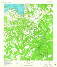
1963 Map of Sattler
USGS Topo · Published 1965About this map
The Guadalupe River snakes through the heart of the Comal County landscape, defined here by the massive engineering of the Canyon Reservoir. This 1963 survey captures the area just as the newly formed reservoir was filling, with its Spillway Elev 943 and Control Towers marking the northern edge of the sheet. The river’s winding course below the dam is punctuated by a series of numbered low-water crossings, from the First Crossing up to the Fourth Crossing, illustrating the traditional transportation network of the Texas Hill Country.
Find a feature on this map
32 named features on this map. Tap any name to fly to it.
Don’t see what you’re looking for? This feature index may not catch every label — zoom into the map to look around manually.
Map Details
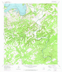
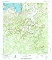
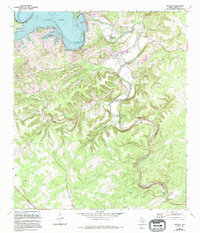
Editions of this 1963 Sattler Map
4 editions found
Other maps of this area

1920 · Smithsons Valley
USGS Topo · 1:62,500

1925 · New Braunfels No 1
USGS Topo · 1:48,000

1925 · Hunter No 3
USGS Topo · 1:48,000

1925 · Smithson Valley No. 1
USGS Topo · 1:48,000

1927 · New Braunfels
USGS Topo · 1:62,500

1927 · Smithson Valley
USGS Topo · 1:62,500

1929 · Hunter
USGS Topo · 1:62,500

1929 · Smithson Valley
USGS Topo · 1:62,500

1940 · Smithson Valley
USGS Topo · 1:62,500

1953 · Bat Cave
USGS Topo · 1:24,000
Featured Places
- Canyon Lake, TX
- Elm Creek Ranch Estates, TX
- Pleasant Valley Ranches, TX
- Pleasant Valley Estates, TX
- Circle S Estates, TX