
1957 Map of Satus Pass
USGS Topo · Published 1959About this map
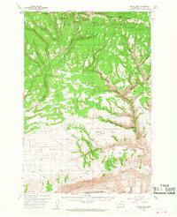
Bickleton sits along the northern ridge of this mid-century landscape, overlooking a diverse terrain of high prairies and deep gulches within the Yakima Indian Reservation. The geography is defined by the Simcoe Mountains and the Columbia Hills, separated by the broad Klickitat Valley. A notable concentration of community life is visible in Pleasant Valley, which contains a Cemetery and Grange Hall.
Find a feature on this map
42 named features on this map. Tap any name to fly to it.
Don’t see what you’re looking for? This feature index may not catch every label — zoom into the map to look around manually.
Map Details
Editions of this 1957 Satus Pass Map
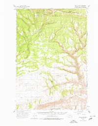
3 editions found
Other maps of this area

1910 · Zillah
USGS Topo · 1:125,000

1916 · Arlington
USGS Topo · 1:125,000

1937 · White Swan
USGS Topo · 1:125,000

1950 · Yakima
USGS Topo · 1:250,000

1953 · The Dalles
USGS Topo · 1:250,000

1956 · The Dalles
USGS Topo · 1:250,000

1957 · The Dalles
USGS Topo · 1:250,000

1957 · Wasco
USGS Topo · 1:62,500

1957 · Goldendale
USGS Topo · 1:62,500

1957 · Wishram
USGS Topo · 1:62,500