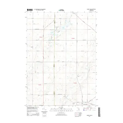
2014 Map of Saubee Lake
USGS Topo · Published 2014About this map
Vermontville anchors the southeastern corner of this landscape, situated at the intersection of W Main St and N Ionia Rd. The area is defined by a dense concentration of glacial kettle lakes and wetlands, including Saubee Lake, Saddlebag Lake, and the connected waters of First Lake and Second Lake. These water bodies, along with the meandering courses of Scipio Cr and Hagar Cr, have historically dictated the placement of roads and farmstead boundaries across the Barry and Eaton county line. For genealogists, the map is particularly detailed regarding burial sites, documenting several rural interments such as Hosmer Cem, Patterson Cem, and Woodlawn Cem. The grid of early transportation routes, like the Saginaw Hwy and Bismark Hwy, provides a clear view of the rural township structure that has supported this agricultural community into the 21st century.
Find a feature on this map
60 named features on this map. Tap any name to fly to it.
Don’t see what you’re looking for? This feature index may not catch every label — zoom into the map to look around manually.
Map Details
Editions of this 2014 Saubee Lake Map
This is the sole edition of this map. No revisions or reprints were ever made.
Other maps of this area

1916 · Ionia
USGS Topo · 1:62,500

1918 · Ionia
USGS Topo · 1:62,500

1943 · Ionia
USGS Topo · 1:62,500

1945 · Portland
USGS Topo · 1:62,500

1949 · Charlotte
USGS Topo · 1:62,500

1950 · Nashville
USGS Topo · 1:62,500

1951 · Nashville
USGS Topo · 1:62,500

1958 · Grand Rapids
USGS Topo · 1:250,000

1961 · Grand Rapids
USGS Topo · 1:250,000

1962 · Grand Rapids
USGS Topo · 1:250,000