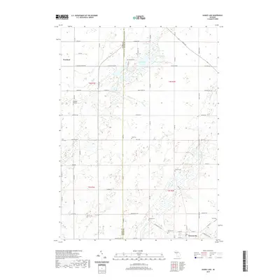
2019 Map of Saubee Lake
USGS Topo · Published 2019About this map
Vermontville sits at the intersection of a well-defined road network along the eastern edge of this landscape, where Scipio Cr and Hagar Cr drain toward a series of natural basins. The terrain is defined by its glacial hydrology, featuring a dense cluster of lakes including Saubee Lake, Lookingglass Lake, Tamarack Lake, and Kilpatrick Lake. This pattern of small water bodies and wetlands has historically influenced the placement of farms and cemeteries across the townships. Genealogists will find several family-named and local burial grounds, such as Patterson Cem, Hosmer Cem, and Hagar Cem, which are scattered among the sections. Further west, the settlement of Woodland provides a second community hub, anchored by the Woodland Memorial Park Cem. The map illustrates a rural Michigan landscape where the traditional section-line road grid, including the Clinton Trl and Saginaw Hwy, accommodates the irregular shorelines of numerous interior lakes.
Find a feature on this map
75 named features on this map. Tap any name to fly to it.
Don’t see what you’re looking for? This feature index may not catch every label — zoom into the map to look around manually.
Map Details
Editions of this 2019 Saubee Lake Map
This is the sole edition of this map. No revisions or reprints were ever made.
Other maps of this area

1916 · Ionia
USGS Topo · 1:62,500

1918 · Ionia
USGS Topo · 1:62,500

1943 · Ionia
USGS Topo · 1:62,500

1945 · Portland
USGS Topo · 1:62,500

1949 · Charlotte
USGS Topo · 1:62,500

1950 · Nashville
USGS Topo · 1:62,500

1951 · Nashville
USGS Topo · 1:62,500

1958 · Grand Rapids
USGS Topo · 1:250,000

1961 · Grand Rapids
USGS Topo · 1:250,000

1962 · Grand Rapids
USGS Topo · 1:250,000