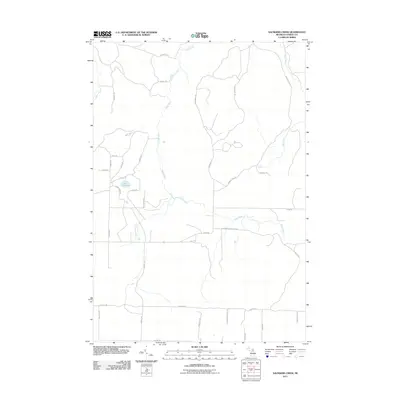
2011 Map of Saunders Creek
USGS Topo · Published 2011About this map
Black River and Saunders Creek carve through the north-central woods of Otsego County, defining a landscape marked more by its timber-hauling history than dense settlement. The presence of Johnson Crossing Grade and numerous tracks like Sawdust Pile Trl and Tin Shanty Rd point to the area's legacy of forestry and logging operations. Near the center, Lake Nineteen sits surrounded by a network of residential roads including Elmac Circle Dr and Birch Trl, representing a pocket of development amidst the broader expanse of the Pigeon River Country State Forest. To the north, the Pigeon River enters the frame, while the east is drained by Tubbs Creek. The road network, consisting largely of named trails such as Lost Cabin Trl and Bear Trl, illustrates the transition from primitive forest passages to modern rural routes like Sparr Rd.
Find a feature on this map
35 named features on this map. Tap any name to fly to it.
Don’t see what you’re looking for? This feature index may not catch every label — zoom into the map to look around manually.
Map Details
Editions of this 2011 Saunders Creek Map
This is the sole edition of this map. No revisions or reprints were ever made.
Other maps of this area

1949 · Lewiston
USGS Topo · 1:62,500

1949 · Otsego Lake
USGS Topo · 1:62,500

1950 · Lewiston
USGS Topo · 1:24,000

1950 · Johannesburg
USGS Topo · 1:24,000

1950 · Turtle Lake
USGS Topo · 1:24,000

1951 · Turtle Lake
USGS Topo · 1:24,000

1951 · Johannesburg
USGS Topo · 1:24,000

1951 · Lewiston
USGS Topo · 1:24,000

1954 · Gaylord
USGS Topo · 1:62,500

1954 · Hetherton
USGS Topo · 1:62,500