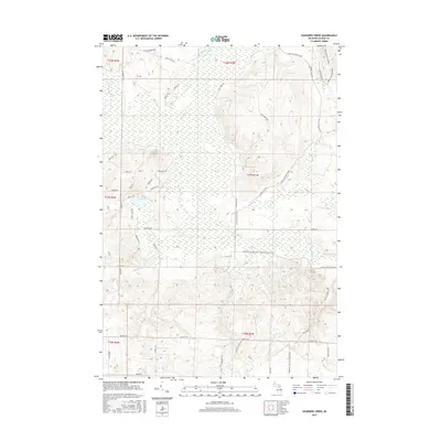
2017 Map of Saunders Creek
USGS Topo · Published 2017About this map
Black River and the Pigeon River headwaters dominate this landscape in the northern Lower Peninsula, winding through a complex network of wetlands and forested terrain. The map documents a significant intersection of recreational corridors, most notably the Shore to Shore Trail and the High Country Pathway, which traverse the undulating topography and cross several smaller tributaries like Tubbs Creek.
Find a feature on this map
44 named features on this map. Tap any name to fly to it.
Don’t see what you’re looking for? This feature index may not catch every label — zoom into the map to look around manually.
Map Details
Editions of this 2017 Saunders Creek Map
This is the sole edition of this map. No revisions or reprints were ever made.
Other maps of this area

1949 · Lewiston
USGS Topo · 1:62,500

1949 · Otsego Lake
USGS Topo · 1:62,500

1950 · Lewiston
USGS Topo · 1:24,000

1950 · Johannesburg
USGS Topo · 1:24,000

1950 · Turtle Lake
USGS Topo · 1:24,000

1951 · Turtle Lake
USGS Topo · 1:24,000

1951 · Johannesburg
USGS Topo · 1:24,000

1951 · Lewiston
USGS Topo · 1:24,000

1954 · Gaylord
USGS Topo · 1:62,500

1954 · Hetherton
USGS Topo · 1:62,500