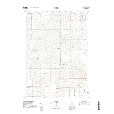
2019 Map of Saunders Creek
USGS Topo · Published 2019About this map
Pigeon River and Black River define the hydrography of this northern Michigan landscape, where the terrain is marked by the expansive wetland systems of Chester Township. The 2019 survey documents a region defined by recreational and historical transit, specifically highlighting the Shore to Shore Trail and the High Country Pathway. These routes intersect with older logging and carriage roads like Tin Shanty Rd and Sawdust Pile Rd, names that hint at the area's timber industry past. Central to the map is Lake Nineteen, a prominent water body surrounded by a network of named trails such as Birch Run Dr and Cedar Run Trl. The inclusion of the Johnson Crossing Grade indicates a historic transportation corridor, likely following a former rail grade, which remains a key feature for modern navigation and historical research in Otsego County.
Find a feature on this map
46 named features on this map. Tap any name to fly to it.
Don’t see what you’re looking for? This feature index may not catch every label — zoom into the map to look around manually.
Map Details
Editions of this 2019 Saunders Creek Map
This is the sole edition of this map. No revisions or reprints were ever made.
Other maps of this area

1949 · Lewiston
USGS Topo · 1:62,500

1949 · Otsego Lake
USGS Topo · 1:62,500

1950 · Lewiston
USGS Topo · 1:24,000

1950 · Johannesburg
USGS Topo · 1:24,000

1950 · Turtle Lake
USGS Topo · 1:24,000

1951 · Turtle Lake
USGS Topo · 1:24,000

1951 · Johannesburg
USGS Topo · 1:24,000

1951 · Lewiston
USGS Topo · 1:24,000

1954 · Gaylord
USGS Topo · 1:62,500

1954 · Hetherton
USGS Topo · 1:62,500