
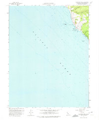
1960 Map of Saunders Reef
USGS Topo · Published 1961About this map
Saunders Landing and Iversen Landing mark the rugged interface of the Mendocino coast, where historical maritime activity met the steep California shoreline. This 1960 field-checked survey highlights a landscape shaped by the local timber industry, clearly identifying a Lumber Mill and an associated Burner near the headwaters of Hearn Gulch. The settlement of Galloway and the Galloway Sch serve as the primary inland anchors for the rural population of the era.
Find a feature on this map
19 named features on this map. Tap any name to fly to it.
Don’t see what you’re looking for? This feature index may not catch every label — zoom into the map to look around manually.
Map Details
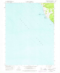
Editions of this 1960 Saunders Reef Map
3 editions found
Other maps of this area

1943 · Point Arena
USGS Topo · 1:62,500

1947 · Santa Rosa
USGS Topo · 1:250,000

1949 · Santa Rosa
USGS Topo · 1:250,000

1958 · Santa Rosa
USGS Topo · 1:250,000
1960 · Gualala
USGS Topo · 1:24,000
1960 · Point Arena
USGS Topo · 1:62,500
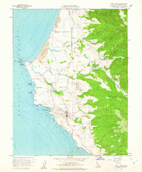
1960 · Point Arena
USGS Topo · 1:24,000
1962 · Santa Rosa
USGS Topo · 1:250,000
1964 · Santa Rosa
USGS Topo · 1:250,000
1977 · Gualala
USGS Topo · 1:24,000