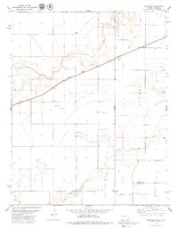
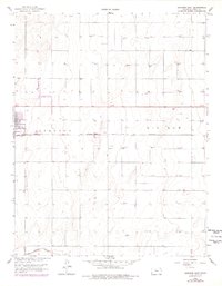
1979 Map of Saunders
USGS Topo · Published 1979This historical map portrays the area of Saunders in 1979, primarily covering Stanton County as well as portions of Colorado. Featuring a scale of 1:24000, this map provides a highly detailed snapshot of the terrain, roads, buildings, counties, and historical landmarks in the Saunders region at the time. Published in 1979, it is one of 2 known editions of this map due to revisions or reprints.
Map Details
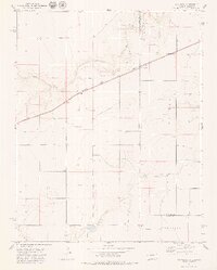
Editions of this 1979 Saunders Map
2 editions found
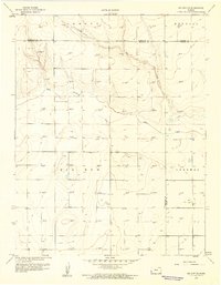
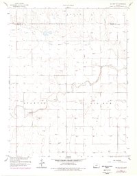
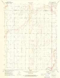
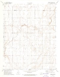
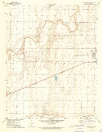
Historical Maps of Saunders Through Time
11 maps found
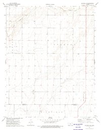
1959 Big Bow NE
Stanton County, KS
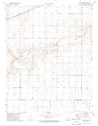
1959 Big Bow NW
Stanton County, KS
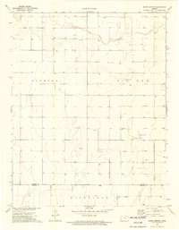
1959 Johnson East
Stanton County, KS
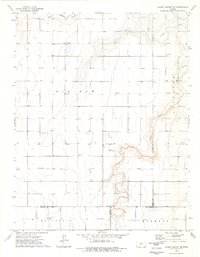
1973 Johnson NE
Stanton County, KS
1973 Johnson NW
Stanton County, KS
1973 Johnson West
Stanton County, KS
1973 Richfield NE
Stanton County, KS
1973 Richfield NW
Stanton County, KS
1973 Shore Airport
Stanton County, KS
1974 Shore Airport NE
Stanton County, KS
1979 Saunders
Stanton County, KS