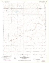
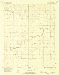
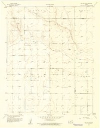
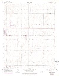
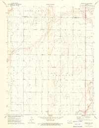
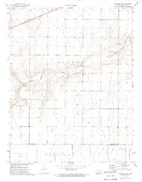
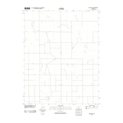
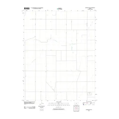
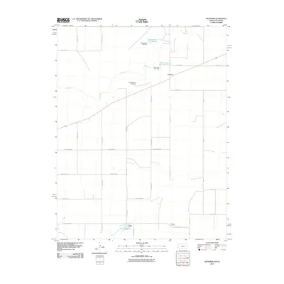
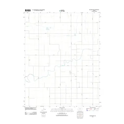
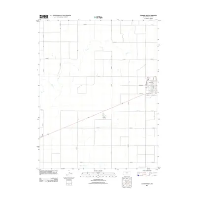
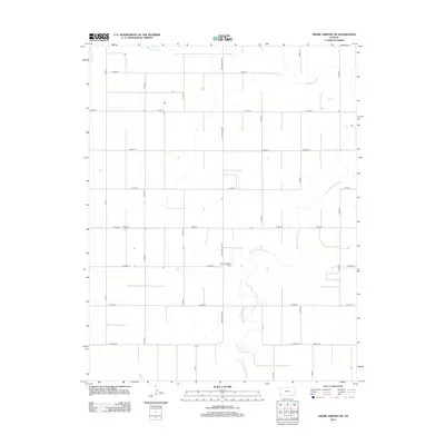
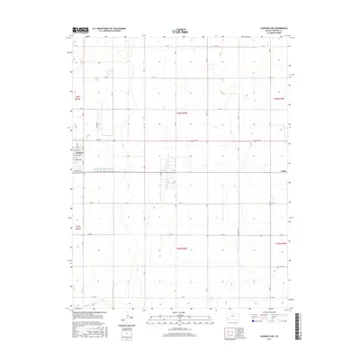
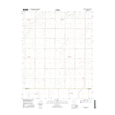
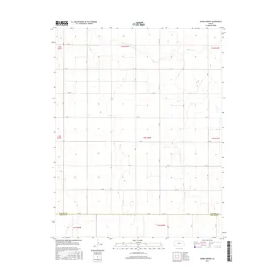
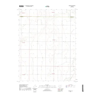
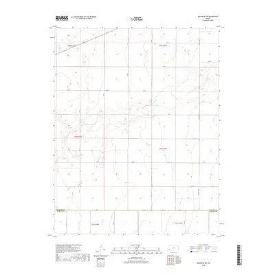
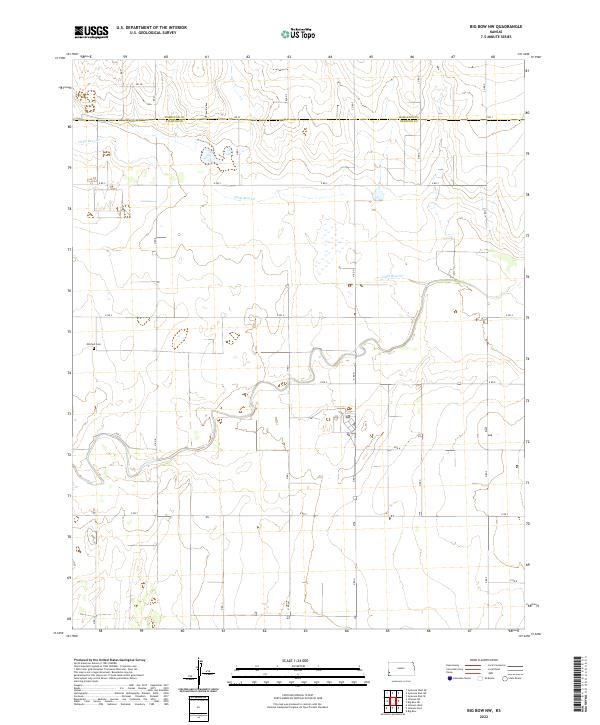
1959 Map of Big Bow NW
USGS Topo · Published 1978About this map
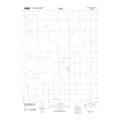
Little Bear Creek and Bear Creek carve distinct paths through this section of the High Plains, where the terrain transitions between the Lamont, Stanton, and Big Bow regions. The landscape is defined by the burgeoning energy and extractive industries of the late 1950s, evidenced by a dense network of Gas Wells scattered across the township grid and a localized Gravel Pit. For those researching local family history, the Mitchell Cem is a significant landmark on the western edge of the quadrangle. This 1959 survey, later updated with photorevisions in 1977, provides a clear view of the rural infrastructure along the Hamilton and Stanton County border before modern intensive agricultural shifts.
Find a feature on this map
9 named features on this map. Tap any name to fly to it.
Don’t see what you’re looking for? This feature index may not catch every label — zoom into the map to look around manually.
Map Details
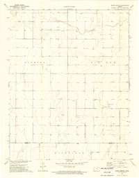
Editions of this 1959 Big Bow NW Map
2 editions found
Historical Maps of Stanton County Through Time
66 maps found
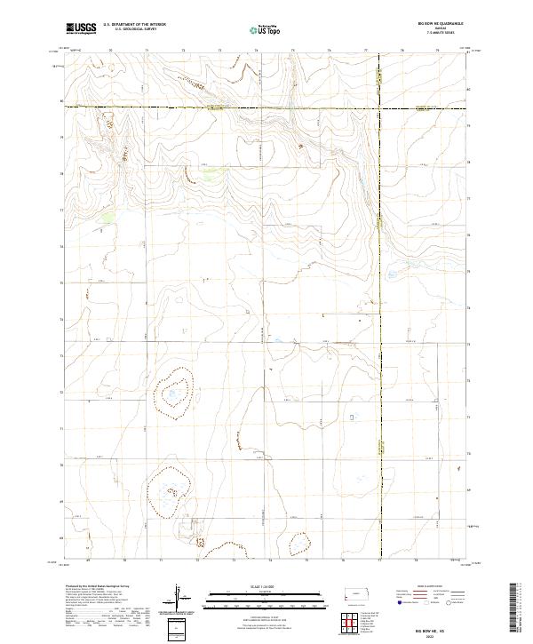
1959 Big Bow NE
Stanton County, KS
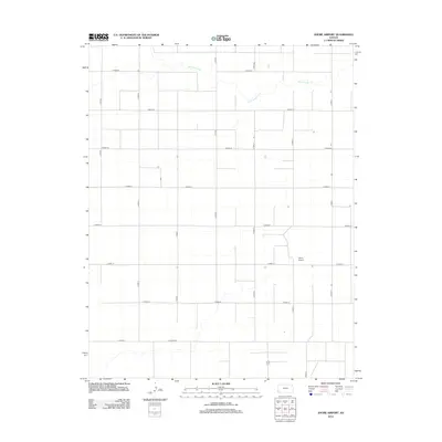
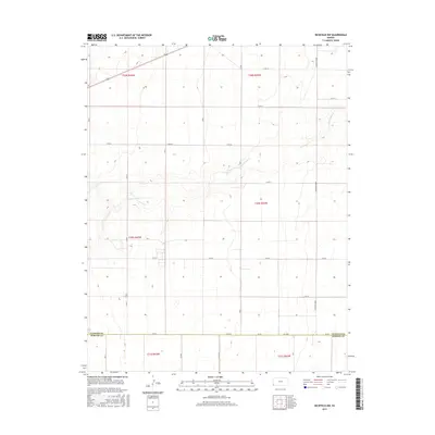
1959 Big Bow NW
Stanton County, KS
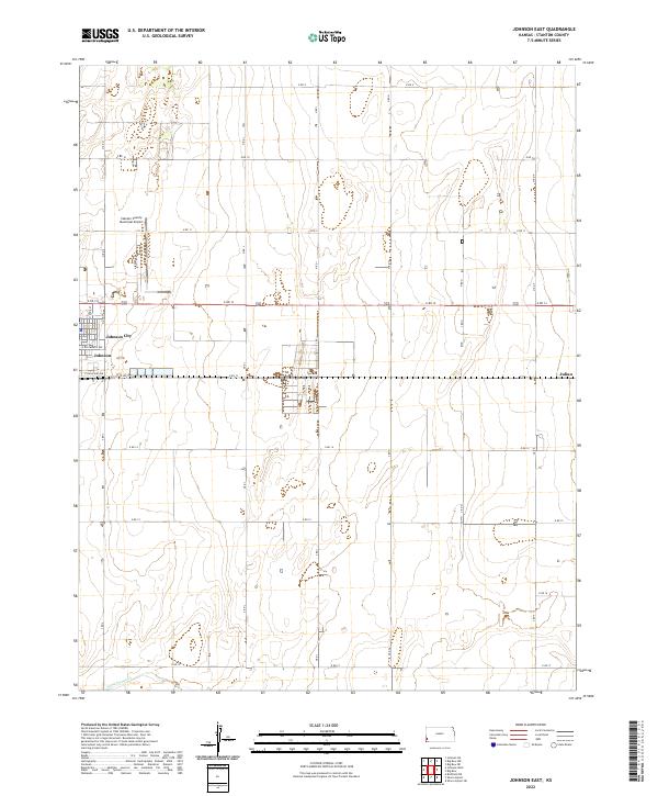
1959 Johnson East
Stanton County, KS
1973 Johnson NE
Stanton County, KS
1973 Johnson NW
Stanton County, KS
1973 Johnson West
Stanton County, KS
1973 Richfield NE
Stanton County, KS
1973 Richfield NW
Stanton County, KS
1973 Shore Airport
Stanton County, KS
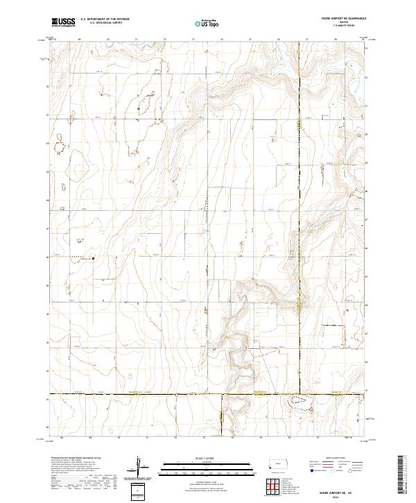
1974 Shore Airport NE
Stanton County, KS
1979 Saunders
Stanton County, KS
2010 Big Bow NE
Stanton County, KS
2010 Big Bow NW
Stanton County, KS
2010 Johnson East
Stanton County, KS
2010 Johnson NE
Stanton County, KS
2010 Johnson NW
Stanton County, KS
2010 Johnson West
Stanton County, KS
2010 Richfield NE
Stanton County, KS
2010 Richfield NW
Stanton County, KS
2010 Saunders
Stanton County, KS
2010 Shore Airport NE
Stanton County, KS
2010 Shore Airport
Stanton County, KS
2012 Big Bow NE
Stanton County, KS
2012 Big Bow NW
Stanton County, KS
2012 Johnson East
Stanton County, KS
2012 Johnson NE
Stanton County, KS
2012 Johnson NW
Stanton County, KS
2012 Johnson West
Stanton County, KS
2012 Richfield NE
Stanton County, KS
2012 Richfield NW
Stanton County, KS
2012 Saunders
Stanton County, KS
2012 Shore Airport NE
Stanton County, KS
2012 Shore Airport
Stanton County, KS
2015 Big Bow NE
Stanton County, KS
2015 Big Bow NW
Stanton County, KS
2015 Johnson East
Stanton County, KS
2015 Johnson NE
Stanton County, KS
2015 Johnson NW
Stanton County, KS
2015 Johnson West
Stanton County, KS
2015 Richfield NE
Stanton County, KS
2015 Richfield NW
Stanton County, KS
2015 Saunders
Stanton County, KS
2015 Shore Airport NE
Stanton County, KS
2015 Shore Airport
Stanton County, KS
2018 Big Bow NE
Stanton County, KS
2018 Big Bow NW
Stanton County, KS
2018 Johnson East
Stanton County, KS
2018 Johnson NE
Stanton County, KS
2018 Johnson NW
Stanton County, KS
2018 Johnson West
Stanton County, KS
2018 Richfield NE
Stanton County, KS
2018 Richfield NW
Stanton County, KS
2018 Saunders
Stanton County, KS
2018 Shore Airport NE
Stanton County, KS
2018 Shore Airport
Stanton County, KS
2022 Big Bow NE
Stanton County, KS
2022 Big Bow NW
Stanton County, KS
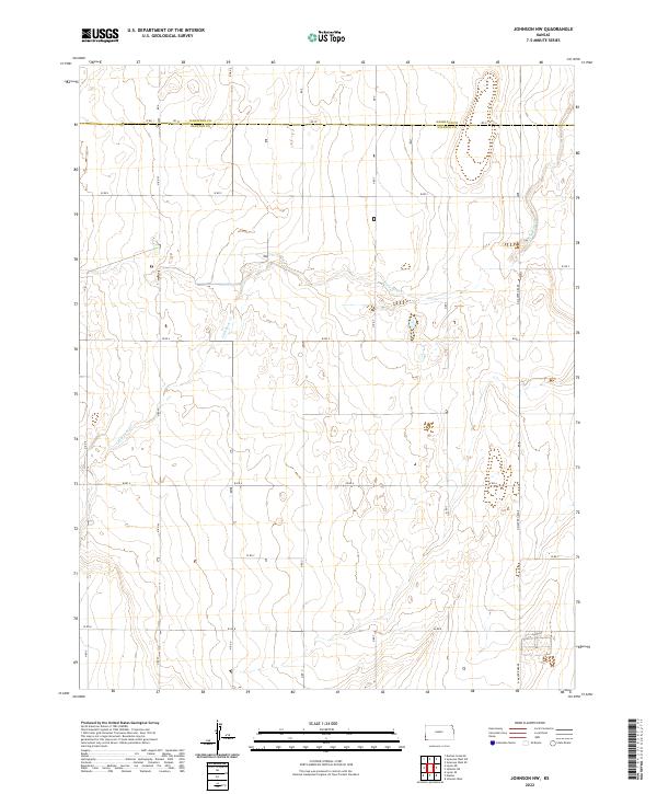
2022 Johnson East
Stanton County, KS
2022 Johnson NE
Stanton County, KS
2022 Johnson NW
Stanton County, KS
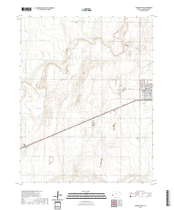
2022 Johnson West
Stanton County, KS
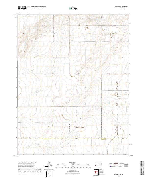
2022 Richfield NE
Stanton County, KS
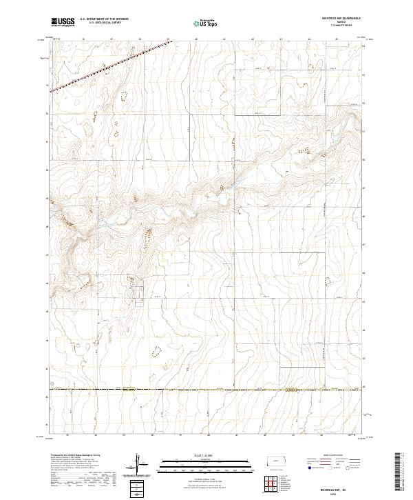
2022 Richfield NW
Stanton County, KS
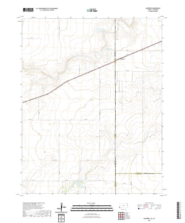
2022 Saunders
Stanton County, KS
2022 Shore Airport NE
Stanton County, KS
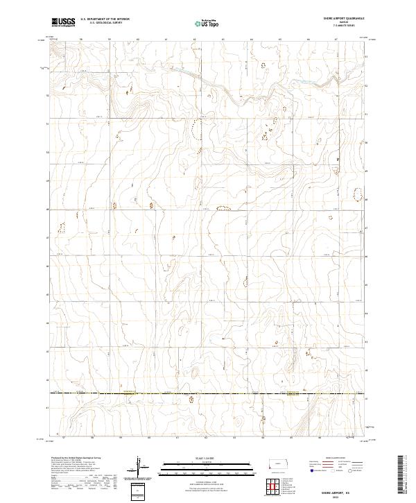
2022 Shore Airport
Stanton County, KS