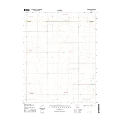
2015 Map of Johnson NE
USGS Topo · Published 2015About this map
Little Bear Creek meanders through the high plains of Southwest Kansas, crossing the boundary between Hamilton County and Stanton County. This part of the Great Plains is characterized by its organized section-line road network, including Rd 27, which serves the agricultural lands of this sparsely populated region. The topography is defined by subtle elevation changes as the landscape slopes gently toward the creek bed, with a systematic grid of township and range lines like t27s r41w and t27s r42w marking the cadastral history of the western frontier. Small depressions and seasonal wetlands dot the sections, reflecting the natural drainage patterns of this semi-arid environment during the mid-2010s.
Find a feature on this map
9 named features on this map. Tap any name to fly to it.
Don’t see what you’re looking for? This feature index may not catch every label — zoom into the map to look around manually.
Map Details
Editions of this 2015 Johnson NE Map
This is the sole edition of this map. No revisions or reprints were ever made.
Other maps of this area

1900 · Syracuse
USGS Topo · 1:125,000

1920 · Syracuse
USGS Topo · 1:125,000

1955 · Dodge City
USGS Topo · 1:250,000

1958 · Dodge City
USGS Topo · 1:250,000

1959 · Dodge City
USGS Topo · 1:250,000

1959 · Big Bow NW
USGS Topo · 1:24,000

1959 · Big Bow SW
USGS Topo · 1:24,000

1966 · Syracuse West SW
USGS Topo · 1:24,000

1966 · Syracuse East SW
USGS Topo · 1:24,000
1966 · Syracuse West SE
USGS Topo · 1:24,000