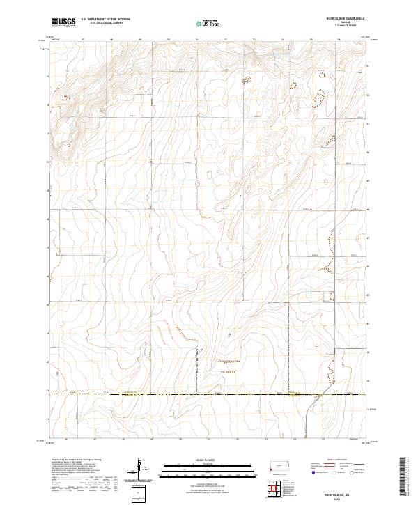
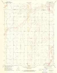
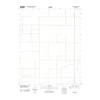
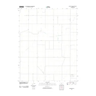
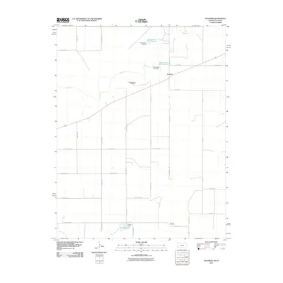
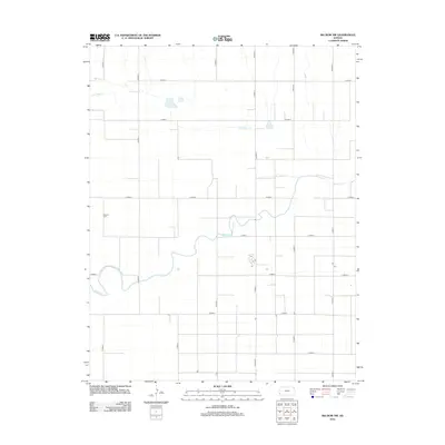
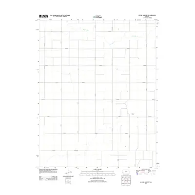
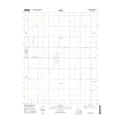
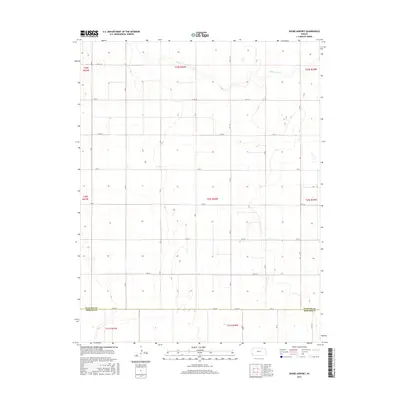
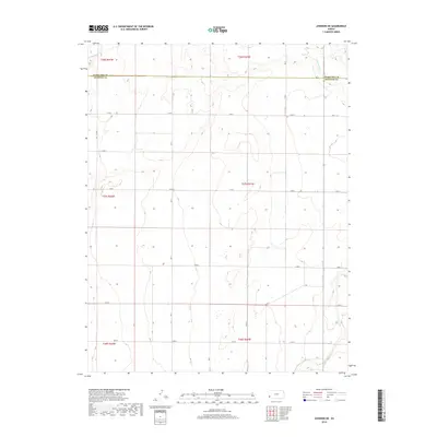
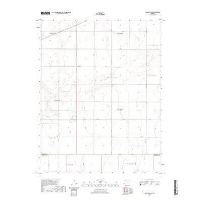
2022 Map of Richfield NE
USGS Topo · Published 2022About this map
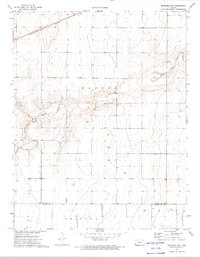
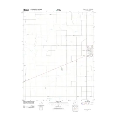
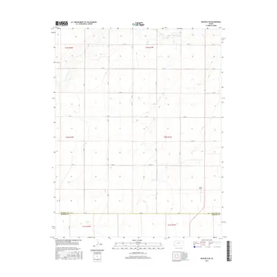
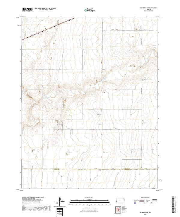
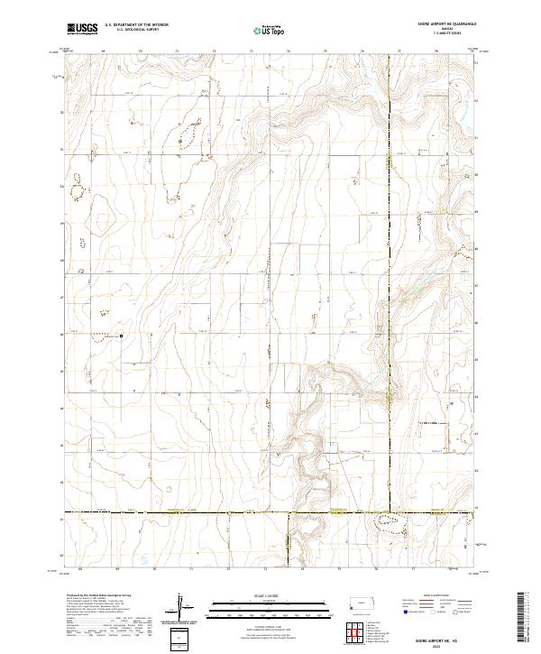
Stanton County and Morton County meet along a straight surveyor’s line in this high plains landscape of Southwest Kansas. The terrain is characterized by a sprawling grid of rural sections, carved by the winding course of Sand Arroyo Cr as it snakes through the northern reaches. The map reveals a strictly organized agricultural layout, with long-established section roads like W Rd 18, W Rd 20, and W Rd 23 providing the primary structure for the region. At the southern edge, the transition between counties is marked by DD Blvd and Rd DD, illustrating the precision of the Public Land Survey System in this part of the state. This 2022 survey captures the persistent rural character of the area, where the vast open landscape is defined more by its drainage patterns and county boundaries than by dense settlement.
Find a feature on this map
21 named features on this map. Tap any name to fly to it.
Don’t see what you’re looking for? This feature index may not catch every label — zoom into the map to look around manually.
Map Details
Editions of this 2022 Richfield NE Map
This is the sole edition of this map. No revisions or reprints were ever made.
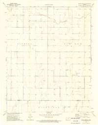
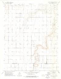
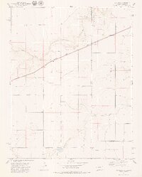
Historical Maps of Stanton County Through Time
66 maps found
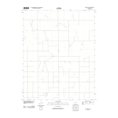
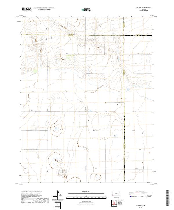
1959 Big Bow NE
Stanton County, KS
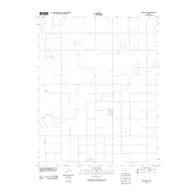
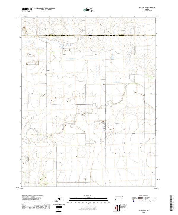
1959 Big Bow NW
Stanton County, KS
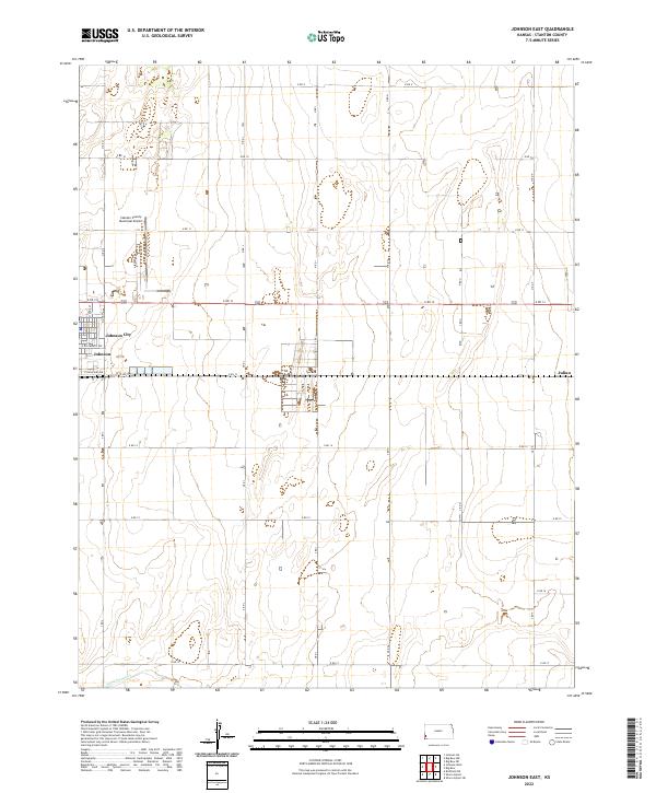
1959 Johnson East
Stanton County, KS
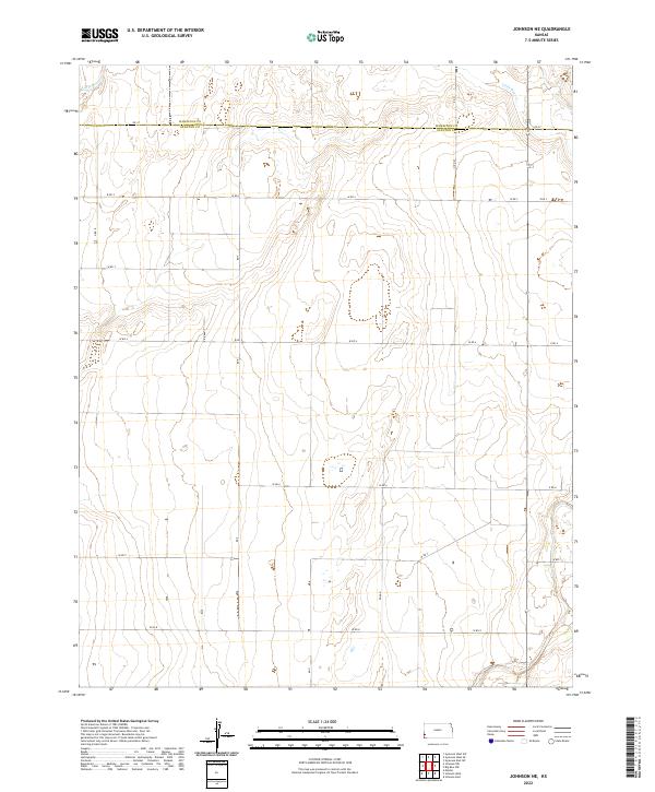
1973 Johnson NE
Stanton County, KS
1973 Johnson NW
Stanton County, KS
1973 Johnson West
Stanton County, KS
1973 Richfield NE
Stanton County, KS
1973 Richfield NW
Stanton County, KS
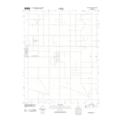
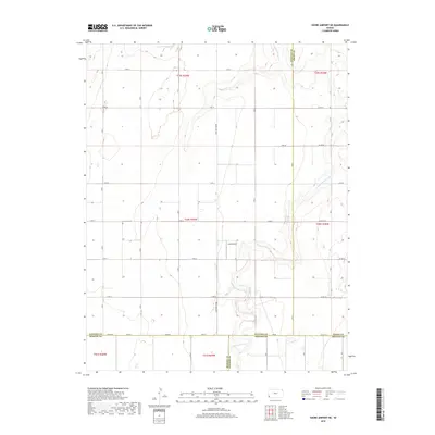
1973 Shore Airport
Stanton County, KS
1974 Shore Airport NE
Stanton County, KS
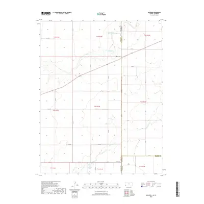
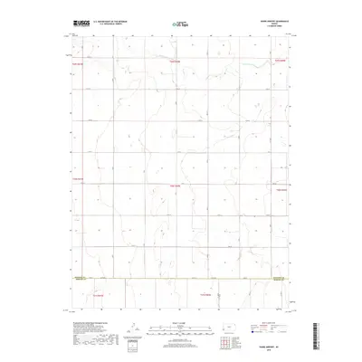
1979 Saunders
Stanton County, KS
2010 Big Bow NE
Stanton County, KS
2010 Big Bow NW
Stanton County, KS
2010 Johnson East
Stanton County, KS
2010 Johnson NE
Stanton County, KS
2010 Johnson NW
Stanton County, KS
2010 Johnson West
Stanton County, KS
2010 Richfield NE
Stanton County, KS
2010 Richfield NW
Stanton County, KS
2010 Saunders
Stanton County, KS
2010 Shore Airport NE
Stanton County, KS
2010 Shore Airport
Stanton County, KS
2012 Big Bow NE
Stanton County, KS
2012 Big Bow NW
Stanton County, KS
2012 Johnson East
Stanton County, KS
2012 Johnson NE
Stanton County, KS
2012 Johnson NW
Stanton County, KS
2012 Johnson West
Stanton County, KS
2012 Richfield NE
Stanton County, KS
2012 Richfield NW
Stanton County, KS
2012 Saunders
Stanton County, KS
2012 Shore Airport NE
Stanton County, KS
2012 Shore Airport
Stanton County, KS
2015 Big Bow NE
Stanton County, KS
2015 Big Bow NW
Stanton County, KS
2015 Johnson East
Stanton County, KS
2015 Johnson NE
Stanton County, KS
2015 Johnson NW
Stanton County, KS
2015 Johnson West
Stanton County, KS
2015 Richfield NE
Stanton County, KS
2015 Richfield NW
Stanton County, KS
2015 Saunders
Stanton County, KS
2015 Shore Airport NE
Stanton County, KS
2015 Shore Airport
Stanton County, KS
2018 Big Bow NE
Stanton County, KS
2018 Big Bow NW
Stanton County, KS
2018 Johnson East
Stanton County, KS
2018 Johnson NE
Stanton County, KS
2018 Johnson NW
Stanton County, KS
2018 Johnson West
Stanton County, KS
2018 Richfield NE
Stanton County, KS
2018 Richfield NW
Stanton County, KS
2018 Saunders
Stanton County, KS
2018 Shore Airport NE
Stanton County, KS
2018 Shore Airport
Stanton County, KS
2022 Big Bow NE
Stanton County, KS
2022 Big Bow NW
Stanton County, KS
2022 Johnson East
Stanton County, KS
2022 Johnson NE
Stanton County, KS
2022 Johnson NW
Stanton County, KS
2022 Johnson West
Stanton County, KS
2022 Richfield NE
Stanton County, KS
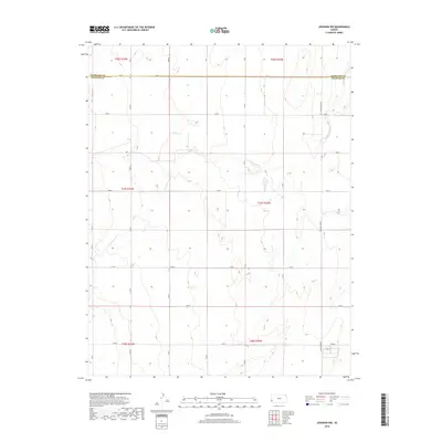
2022 Richfield NW
Stanton County, KS
2022 Saunders
Stanton County, KS
2022 Shore Airport NE
Stanton County, KS
2022 Shore Airport
Stanton County, KS