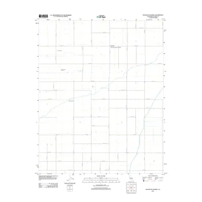
2012 Map of Sausalito School
USGS Topo · Published 2012About this map
Agricultural production and water management define this landscape in central Tulare County. The small settlement of Saucelito serves as a local anchor, centered around the Saucelito Elementary School at the junction of Road 176 and Avenue 104. This area is characterized by large-scale dairy operations, including the De Groot Dairy and De Groot Dairy Number 4, which are situated within a vast grid of section roads and irrigation channels. The Friant-Kern Canal cuts across the southeastern portion of the map, representing a critical piece of California's water infrastructure designed to support the valley's intensive farming. Natural drainage is represented by Deer Cr, which meanders through the central fields near the Deer Creek Ranch, contrasting with the rigid geometry of the surrounding orchards and grazing lands.
Find a feature on this map
36 named features on this map. Tap any name to fly to it.
Don’t see what you’re looking for? This feature index may not catch every label — zoom into the map to look around manually.
Map Details
Editions of this 2012 Sausalito School Map
This is the sole edition of this map. No revisions or reprints were ever made.
Other maps of this area

1925 · Tipton
USGS Topo · 1:31,680

1928 · Tipton
USGS Topo · 1:31,680

1928 · Woodville
USGS Topo · 1:31,680

1929 · Delano
USGS Topo · 1:31,680

1929 · Sausalito School
USGS Topo · 1:31,680

1929 · Richgrove
USGS Topo · 1:31,680

1929 · Porterville
USGS Topo · 1:31,680

1929 · Pixley
USGS Topo · 1:31,680

1929 · Stone
USGS Topo · 1:31,680

1929 · Ducor
USGS Topo · 1:31,680