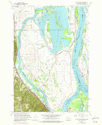
1961 Map of Sauvie Island
USGS Topo · Published 1972About this map
Sauvie Island is depicted here as a landscape defined by the convergence of the Willamette River and the Columbia River, highlighting its complex network of sloughs, lakes, and drainage canals. The map details the transition from the mid-century agricultural era to more modern infrastructure, noting the Burlington Northern and Spokane Portland and Seattle Ry lines that served the industrial edge near Burlington.
Find a feature on this map
83 named features on this map. Tap any name to fly to it.
Don’t see what you’re looking for? This feature index may not catch every label — zoom into the map to look around manually.
Map Details
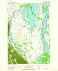
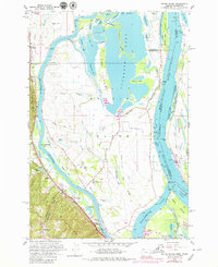
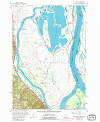
Editions of this 1961 Sauvie Island Map
4 editions found
Other maps of this area

1897 · Portland
USGS Topo · 1:62,500

1905 · Portland
USGS Topo · 1:62,500

1915 · Hillsboro
USGS Topo · 1:62,500

1918 · Hillsboro
USGS Topo · 1:62,500

1922 · St. Helens
USGS Topo · 1:62,500

1940 · Hillsboro
USGS Topo · 1:62,500

1940 · Portland
USGS Topo · 1:62,500

1940 · La Center
USGS Topo · 1:62,500

1941 · St Helens
USGS Topo · 1:62,500

1943 · St Helens
USGS Topo · 1:62,500