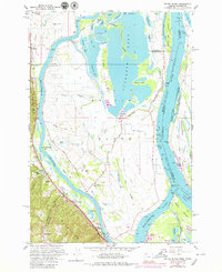
1961 Map of Sauvie Island
USGS Topo · Published 1979About this map
Sauvie Island emerges as a complex hydraulic landscape where the Columbia River and Multnomah Channel diverge. This early 1960s environment, with revisions through the mid-1970s, depicts a rural island interior defined by the winding Gilbert River and the expansive Sturgeon Lake. The map details the intricate drainage system of sloughs and holes, including Wagonwheel Hole and Ash Slough, which support the island’s agricultural and natural character.
Find a feature on this map
93 named features on this map. Tap any name to fly to it.
Don’t see what you’re looking for? This feature index may not catch every label — zoom into the map to look around manually.
Map Details
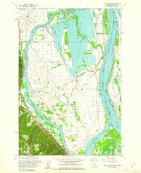
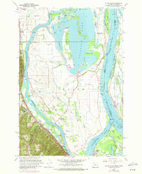
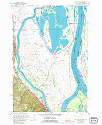
Editions of this 1961 Sauvie Island Map
4 editions found
Other maps of this area

1897 · Portland
USGS Topo · 1:62,500

1905 · Portland
USGS Topo · 1:62,500

1915 · Hillsboro
USGS Topo · 1:62,500

1918 · Hillsboro
USGS Topo · 1:62,500

1922 · St. Helens
USGS Topo · 1:62,500

1940 · Hillsboro
USGS Topo · 1:62,500

1940 · Portland
USGS Topo · 1:62,500

1940 · La Center
USGS Topo · 1:62,500

1941 · St Helens
USGS Topo · 1:62,500

1943 · St Helens
USGS Topo · 1:62,500