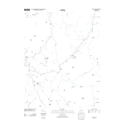
2013 Map of Savage
USGS Topo · Published 2013About this map
Albany anchors the western edge of this Kentucky survey, while the surrounding landscape is defined by the high knobs and ridges of the Cumberland Plateau foothills. The transition from the developed town streets to the rural drainages of Smith Creek and Duvall Creek reveals a settlement pattern built around small agricultural hubs and milling sites like Cannons Mill and Jones Mill. The area's complex topography is marked by several named summits, including Sewell Mountain, Copperas Knob, and Koger Mountain, alongside distinct local landmarks such as The Wolf Den and Possum Kingdom. Numerous family and community burial grounds, including Gwinn Cemetery, Savage Cemetery, and Beaty Cemetery, are scattered across the terrain, serving as vital markers for genealogical research. The presence of the Savage Lookout Tower near the northeast corner suggests the importance of fire observation over the dense woodlands and ridges characterizing this part of Clinton County.
Find a feature on this map
93 named features on this map. Tap any name to fly to it.
Don’t see what you’re looking for? This feature index may not catch every label — zoom into the map to look around manually.
Map Details
Editions of this 2013 Savage Map
This is the sole edition of this map. No revisions or reprints were ever made.
Other maps of this area

1911 · Monticello
USGS Topo · 1:62,500

1914 · Monticello
USGS Topo · 1:62,500

1929 · Byrdstown
USGS Topo · 1:62,500

1934 · Pall Mall
USGS Topo · 1:62,500

1953 · Parnell
USGS Topo · 1:24,000

1953 · Wolf Creek Dam
USGS Topo · 1:24,000

1954 · Cumberland City
USGS Topo · 1:24,000

1954 · Albany
USGS Topo · 1:24,000

1954 · Savage
USGS Topo · 1:24,000

1954 · Powersburg
USGS Topo · 1:24,000