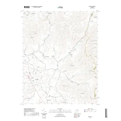
2019 Map of Savage
USGS Topo · Published 2019About this map
Duvall Valley and its surrounding ridgelines define the rural landscape of Clinton County, where small settlements like Savage and Beech Bottom remain connected by winding mountain roads. The area's history is deeply etched into the land through numerous small family and community burial grounds, such as Gwinn Cem and Beaty Cem, alongside older spiritual centers like Oak Grove Church Cem.
Find a feature on this map
89 named features on this map. Tap any name to fly to it.
Don’t see what you’re looking for? This feature index may not catch every label — zoom into the map to look around manually.
Map Details
Editions of this 2019 Savage Map
This is the sole edition of this map. No revisions or reprints were ever made.
Other maps of this area
1911 · Monticello
USGS Topo · 1:62,500
1914 · Monticello
USGS Topo · 1:62,500
1929 · Byrdstown
USGS Topo · 1:62,500
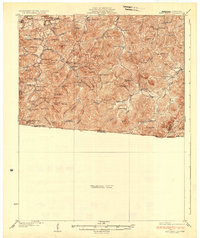
1934 · Pall Mall
USGS Topo · 1:62,500
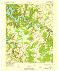
1953 · Parnell
USGS Topo · 1:24,000
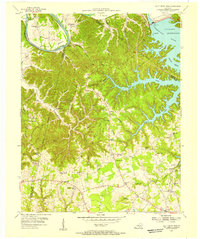
1953 · Wolf Creek Dam
USGS Topo · 1:24,000
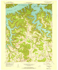
1954 · Cumberland City
USGS Topo · 1:24,000
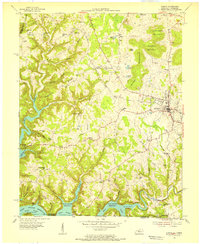
1954 · Albany
USGS Topo · 1:24,000
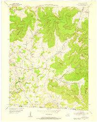
1954 · Savage
USGS Topo · 1:24,000
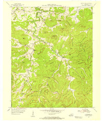
1954 · Powersburg
USGS Topo · 1:24,000