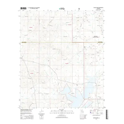
2015 Map of Savage Creek
USGS Topo · Published 2015About this map
Lake Iatt and its complex network of swampy tributaries dominate this portion of Grant Parish, where the land begins to rise into the southern reaches of the Kisatchie National Forest. The landscape is defined by the drainage patterns of Parasol Bayou and Savage Creek, with prominent local elevations like Mossy Ridge and Potato Hill providing relief from the low-lying wetlands.
Find a feature on this map
60 named features on this map. Tap any name to fly to it.
Don’t see what you’re looking for? This feature index may not catch every label — zoom into the map to look around manually.
Map Details
Editions of this 2015 Savage Creek Map
This is the sole edition of this map. No revisions or reprints were ever made.
Other maps of this area

1932 · Colfax NE
USGS Topo · 1:31,680

1932 · Colfax SW
USGS Topo · 1:31,680

1932 · Colfax SE
USGS Topo · 1:31,680

1932 · Colfax NW
USGS Topo · 1:31,680

1935 · Verda
USGS Topo · 1:31,680

1936 · Colfax
USGS Topo · 1:62,500

1937 · Aloha
USGS Topo · 1:31,680

1937 · Montgomery
USGS Topo · 1:62,500

1942 · Montgomery
USGS Topo · 1:62,500

1945 · Montgomery
USGS Topo · 1:62,500