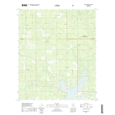
2020 Map of Savage Creek
USGS Topo · Published 2020About this map
Kisatchie National Forest defines the wooded character of this landscape at the boundary of Winn Parish and Grant Parish. The area is characterized by a dense network of watercourses, including Parasol Bayou and Bayou Bourbe, which feed into the extensive wetlands of Lake Iatt in the south. These hydrological features have historically dictated the placement of local infrastructure, as seen with the winding paths of New Bridge Rd and JD Camp Rd that navigate the marshy margins.
Find a feature on this map
63 named features on this map. Tap any name to fly to it.
Don’t see what you’re looking for? This feature index may not catch every label — zoom into the map to look around manually.
Map Details
Editions of this 2020 Savage Creek Map
This is the sole edition of this map. No revisions or reprints were ever made.
Other maps of this area

1932 · Colfax NE
USGS Topo · 1:31,680

1932 · Colfax SW
USGS Topo · 1:31,680

1932 · Colfax SE
USGS Topo · 1:31,680

1932 · Colfax NW
USGS Topo · 1:31,680

1935 · Verda
USGS Topo · 1:31,680

1936 · Colfax
USGS Topo · 1:62,500

1937 · Aloha
USGS Topo · 1:31,680

1937 · Montgomery
USGS Topo · 1:62,500

1942 · Montgomery
USGS Topo · 1:62,500

1945 · Montgomery
USGS Topo · 1:62,500