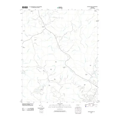
2010 Map of Savage Point
USGS Topo · Published 2010About this map
Wolfpen Mountain and Lockhart Hill dominate this portion of the Cumberland Plateau, where a dense network of watercourses like Big Brush Creek and Kelley Creek carve through the landscape. The geography is defined by prominent overlooks and ridges, including Savage Point, Signal Point, and Short Ridge, which provide natural vantage points over the surrounding hollows.
Find a feature on this map
80 named features on this map. Tap any name to fly to it.
Don’t see what you’re looking for? This feature index may not catch every label — zoom into the map to look around manually.
Map Details
Editions of this 2010 Savage Point Map
This is the sole edition of this map. No revisions or reprints were ever made.
Other maps of this area

1888 · Chattanooga
USGS Topo · 1:125,000

1892 · Pikeville
USGS Topo · 1:125,000

1893 · Mc Minnville
USGS Topo · 1:125,000

1893 · Chattanooga
USGS Topo · 1:125,000

1895 · Mc Minnville
USGS Topo · 1:125,000

1895 · Sewanee
USGS Topo · 1:125,000

1895 · Pikeville
USGS Topo · 1:125,000

1935 · Brockdell
USGS Topo · 1:24,000

1935 · Mount Airy
USGS Topo · 1:24,000

1935 · Smart Mountain
USGS Topo · 1:24,000