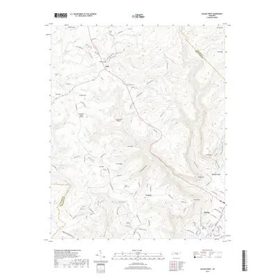
2019 Map of Savage Point
USGS Topo · Published 2019About this map
Sequatchie Valley and the steep escarpments of the Cumberland Plateau define the geographic transition in this 2019 survey. The town of Dunlap occupies the lowlands at the edge of the valley, where the terrain rises sharply toward prominent overlooks like Savage Point and Signal Point. This dramatic elevation change is marked by the Tennessee Valley Divide, which separates the drainages of the plateau from the valley floor.
Find a feature on this map
127 named features on this map. Tap any name to fly to it.
Don’t see what you’re looking for? This feature index may not catch every label — zoom into the map to look around manually.
Map Details
Editions of this 2019 Savage Point Map
This is the sole edition of this map. No revisions or reprints were ever made.
Other maps of this area

1888 · Chattanooga
USGS Topo · 1:125,000

1892 · Pikeville
USGS Topo · 1:125,000

1893 · Mc Minnville
USGS Topo · 1:125,000

1893 · Chattanooga
USGS Topo · 1:125,000

1895 · Mc Minnville
USGS Topo · 1:125,000

1895 · Sewanee
USGS Topo · 1:125,000

1895 · Pikeville
USGS Topo · 1:125,000

1935 · Brockdell
USGS Topo · 1:24,000

1935 · Mount Airy
USGS Topo · 1:24,000

1935 · Smart Mountain
USGS Topo · 1:24,000